Kingfish Bay Area, Kingfish Bay Postcode & Map in Kingfish Bay
Kingfish Bay Area, Kingfish Bay Postcode & Map in Kingfish Bay, Marlborough District, New Zealand
Kingfish Bay, Marlborough District, New Zealand
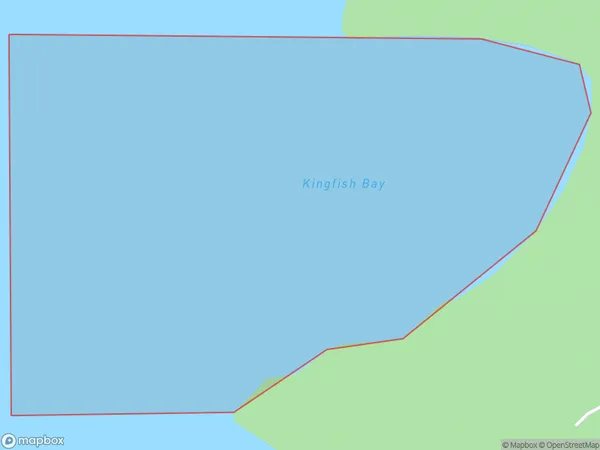
Kingfish Bay Area (estimated)
0.3 square kilometersKingfish Bay Population (estimated)
0 people live in Kingfish Bay, Marlborough, NZKingfish Bay Suburb Area Map (Polygon)
Kingfish Bay Introduction
Kingfish Bay is a picturesque and peaceful bay located in Marlborough, New Zealand. It is known for its clear waters, stunning coastal scenery, and diverse marine life, including kingfish, tuna, and dolphins. The bay is a popular spot for fishing, swimming, and kayaking, and it is surrounded by lush green hills and vineyards. It is also home to a small community of residents who enjoy the peaceful and relaxed lifestyle that the bay offers.Region
Suburb Name
Kingfish BayOther Name(s)
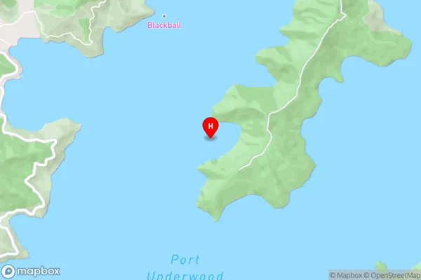
Port Underwood, Cook StraitKingfish Bay Area Map (Street)
Local Authority
Marlborough DistrictFull Address
Kingfish Bay, Marlborough District, New ZealandAddress Type
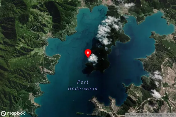
Coastal BayKingfish Bay Suburb Map (Satellite)
Country
Main Region in AU
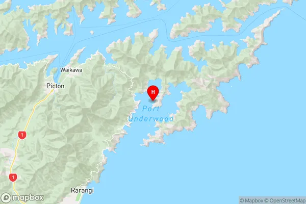
MarlboroughKingfish Bay Region Map
Coordinates
-41.3071505,174.1383868 (latitude/longitude)Distances
The distance from Kingfish Bay, , Marlborough District to NZ Top 10 Cities