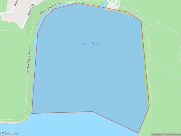
Kerr Bay Area, Kerr Bay Postcode(7053) & Map in Kerr Bay
Kerr Bay Area, Kerr Bay Postcode(7053) & Map in Kerr Bay, Tasman District, New Zealand
Kerr Bay, Tasman District, New Zealand
Kerr Bay Postcodes
Kerr Bay Area (estimated)
0.7 square kilometersKerr Bay Population (estimated)
0 people live in Kerr Bay, Tasman, NZKerr Bay Suburb Area Map (Polygon)
Kerr Bay Introduction
Kerr Bay is a small, sheltered bay located in the Tasman region of New Zealand. It is known for its clear waters, stunning coastal scenery, and diverse marine life. The bay is a popular spot for swimming, kayaking, and fishing, and is home to a small community of residents. The bay is also a significant conservation area, with several protected areas and reserves surrounding it.Region
Suburb Name
Kerr BayOther Name(s)
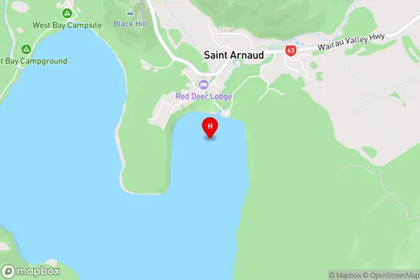
Lake RotoitiKerr Bay Area Map (Street)
Local Authority
Tasman DistrictFull Address
Kerr Bay, Tasman District, New ZealandAddress Type
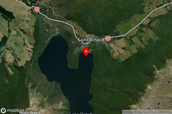
Inland BayKerr Bay Suburb Map (Satellite)
Country
Main Region in AU
TasmanKerr Bay Region Map

Coordinates
-41.8091194,172.8448455 (latitude/longitude)Distances
The distance from Kerr Bay, , Tasman District to NZ Top 10 Cities