Kennedy Bay Area, Kennedy Bay Postcode(3500) & Map in Kennedy Bay
Kennedy Bay Area, Kennedy Bay Postcode(3500) & Map in Kennedy Bay, Thames-Coromandel District, New Zealand
Kennedy Bay, Thames-Coromandel District, New Zealand
Kennedy Bay Postcodes
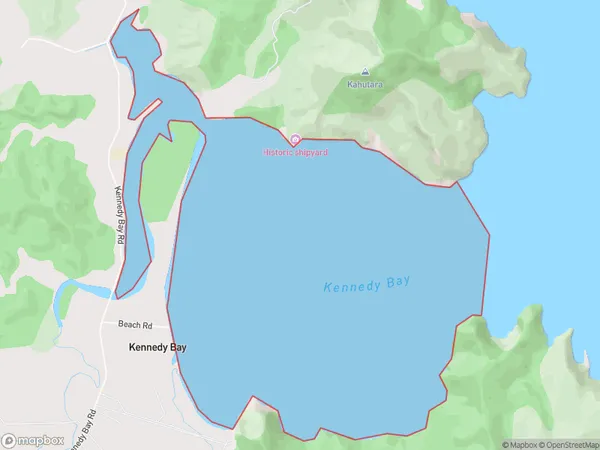
Kennedy Bay Area (estimated)
5.8 square kilometersKennedy Bay Population (estimated)
0 people live in Kennedy Bay, Waikato, NZKennedy Bay Suburb Area Map (Polygon)
Kennedy Bay Introduction
Kennedy Bay is a popular beach destination in Waikato, New Zealand. It is known for its clear waters, sandy beaches, and stunning coastal views. Visitors can enjoy swimming, sunbathing, and water sports such as kayaking and paddleboarding. The bay also has a rich history, with several historic buildings and ruins located nearby.Region
Suburb Name
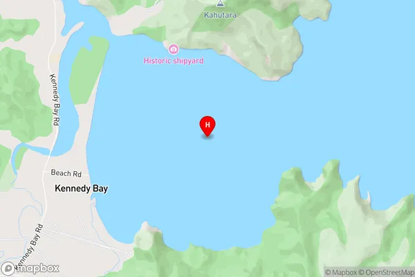
Kennedy BayKennedy Bay Area Map (Street)
Local Authority
Thames-Coromandel DistrictFull Address
Kennedy Bay, Thames-Coromandel District, New ZealandAddress Type
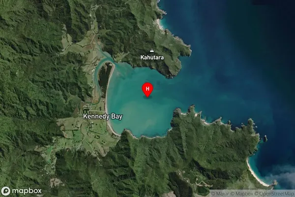
Coastal BayKennedy Bay Suburb Map (Satellite)
Country
Main Region in AU
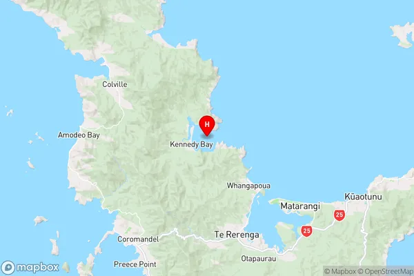
WaikatoKennedy Bay Region Map
Coordinates
-36.6765283,175.569152002255 (latitude/longitude)Distances
The distance from Kennedy Bay, , Thames-Coromandel District to NZ Top 10 Cities