Kawakawa Bay Area, Kawakawa Bay Postcode & Map in Kawakawa Bay
Kawakawa Bay Area, Kawakawa Bay Postcode & Map in Kawakawa Bay, Taupo District,
Kawakawa Bay, Taupo District,
Kawakawa Bay Area (estimated)
11.9 square kilometersKawakawa Bay Population (estimated)
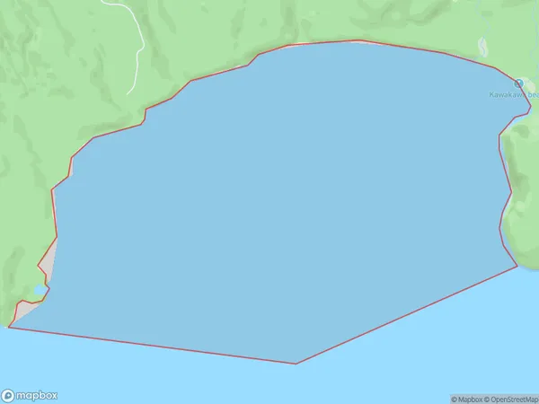
0 people live in Kawakawa Bay, Waikato, NZKawakawa Bay Suburb Area Map (Polygon)
Kawakawa Bay Introduction
Kawakawa Bay is located in the Waikato region of New Zealand's North Island. It is known for its stunning coastal scenery, including rugged cliffs, picturesque beaches, and lush green forests. The bay is a popular spot for swimming, kayaking, and fishing, and is home to a variety of marine species, including dolphins, whales, and seals. The area also has a rich cultural history, with several historic sites and museums located nearby.Region
Suburb Name
Kawakawa BayOther Name(s)
Western Bay, Lake Taupo (Taupomoana)Kawakawa Bay Area Map (Street)
Local Authority
Taupo DistrictFull Address
Kawakawa Bay, Taupo District,Address Type
Inland BayKawakawa Bay Suburb Map (Satellite)
Country
Main Region in AU
WaikatoKawakawa Bay Region Map
Coordinates
0,0 (latitude/longitude)Distances
The distance from Kawakawa Bay, , Taupo District to NZ Top 10 Cities