Kauri Bay Area, Kauri Bay Postcode(0622) & Map in Kauri Bay
Kauri Bay Area, Kauri Bay Postcode(0622) & Map in Kauri Bay, Auckland, New Zealand
Kauri Bay, Auckland, New Zealand
Kauri Bay Postcodes
Kauri Bay Area (estimated)
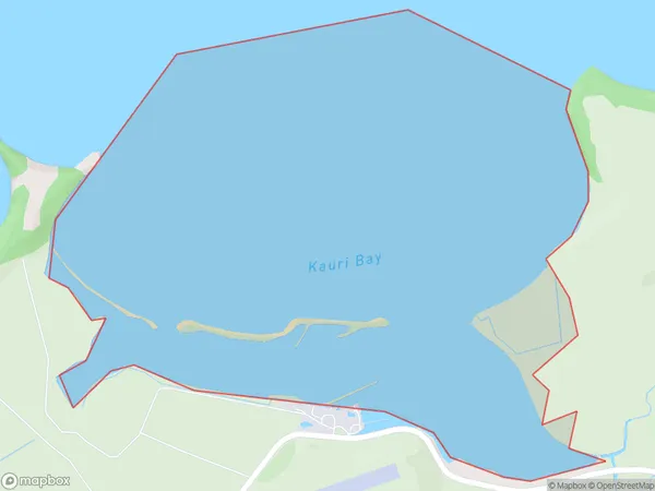
2.2 square kilometersKauri Bay Population (estimated)
0 people live in Kauri Bay, Franklin, NZKauri Bay Suburb Area Map (Polygon)
Kauri Bay Introduction
Kauri Bay is a picturesque beach located in the North Shore region of Auckland, New Zealand. It is known for its stunning natural beauty, including lush forests, golden sand beaches, and crystal-clear waters. The bay is a popular spot for swimming, sunbathing, and outdoor activities such as hiking and kayaking. It is also home to a large population of native kauri trees, which are some of the oldest and most majestic trees in the world.Region
Major City
Suburb Name
Kauri BayOther Name(s)
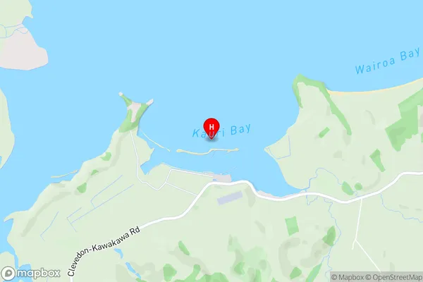
Hauraki GulfKauri Bay Area Map (Street)
Local Authority
AucklandFull Address
Kauri Bay, Auckland, New ZealandAddress Type
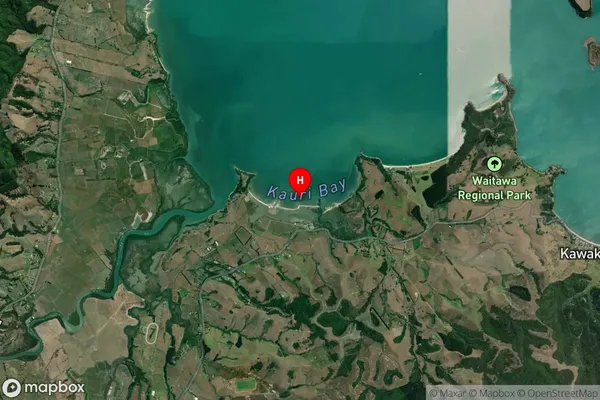
Coastal BayKauri Bay Suburb Map (Satellite)
Country
Main Region in AU
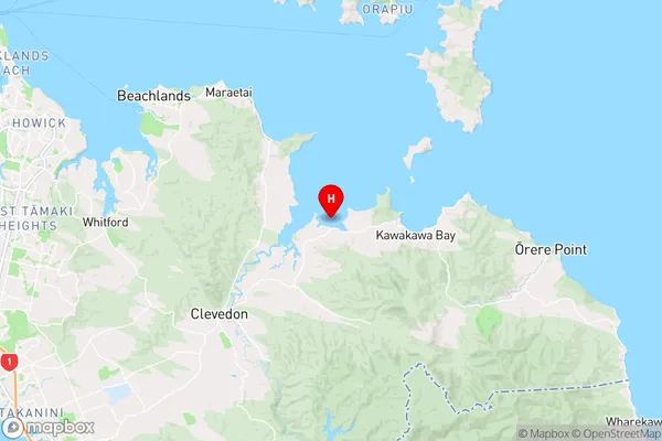
AucklandKauri Bay Region Map
Coordinates
-36.94456445,175.106369927417 (latitude/longitude)Distances
The distance from Kauri Bay, , Auckland to NZ Top 10 Cities