Karaka Bay Area, Karaka Bay Postcode & Map in Karaka Bay
Karaka Bay Area, Karaka Bay Postcode & Map in Karaka Bay, Marlborough District, New Zealand
Karaka Bay, Marlborough District, New Zealand
Karaka Bay Area (estimated)
0.6 square kilometersKaraka Bay Population (estimated)
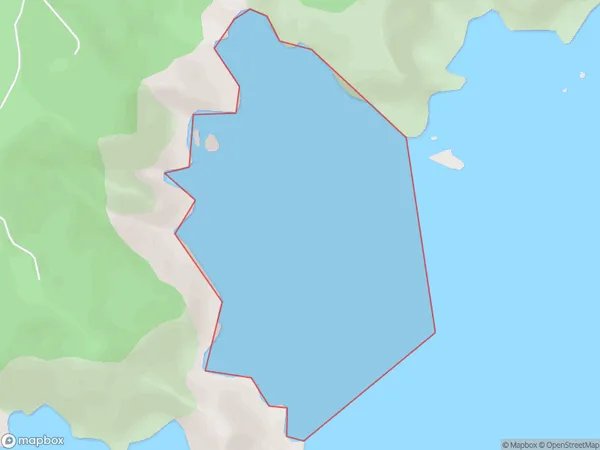
0 people live in Karaka Bay, Marlborough, NZKaraka Bay Suburb Area Map (Polygon)
Karaka Bay Introduction
Karaka Bay is a popular spot for swimming, boating, and fishing in Marlborough, New Zealand. It is located on the southern coast of the South Island and is known for its clear waters and stunning views of the surrounding mountains. The bay is also home to a variety of wildlife, including seals, dolphins, and penguins. Visitors can enjoy a range of activities in the area, including hiking, cycling, and wine tasting.Region
Suburb Name
Karaka BayOther Name(s)
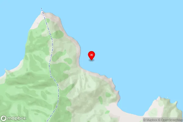
Cook StraitKaraka Bay Area Map (Street)
Local Authority
Marlborough DistrictFull Address
Karaka Bay, Marlborough District, New ZealandAddress Type
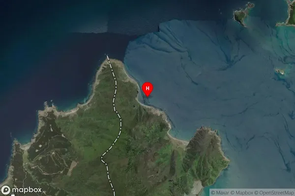
Coastal BayKaraka Bay Suburb Map (Satellite)
Country
Main Region in AU
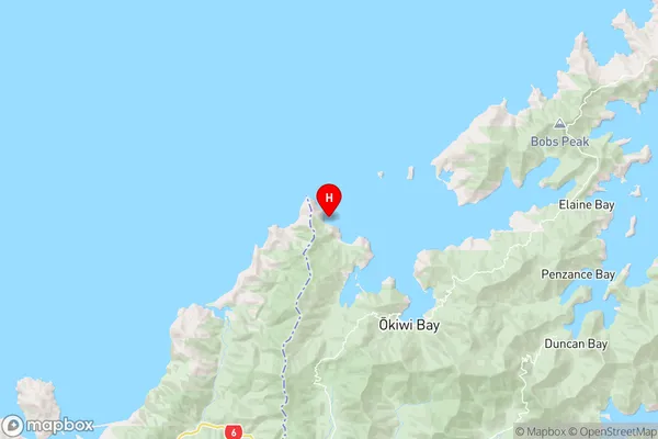
MarlboroughKaraka Bay Region Map
Coordinates
-41.0623896,173.6080387 (latitude/longitude)Distances
The distance from Karaka Bay, , Marlborough District to NZ Top 10 Cities