Kapokapo Bay Area, Kapokapo Bay Postcode(4054) & Map in Kapokapo Bay
Kapokapo Bay Area, Kapokapo Bay Postcode(4054) & Map in Kapokapo Bay, Area outside Territorial Authority, New Zealand
Kapokapo Bay, Area outside Territorial Authority, New Zealand
Kapokapo Bay Postcodes
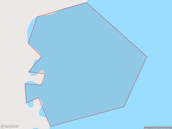
Kapokapo Bay Area (estimated)
0.1 square kilometersKapokapo Bay Population (estimated)
0 people live in Kapokapo Bay, Gisborne, NZKapokapo Bay Suburb Area Map (Polygon)
Kapokapo Bay Introduction
Kapokapo Bay is a popular beach in Gisborne, New Zealand, known for its stunning turquoise waters, white sand, and unique Kapokapo bird population. It is a great spot for swimming, surfing, and wildlife watching. The bay is also home to a historic lighthouse and a small community of residents.Region
Suburb Name
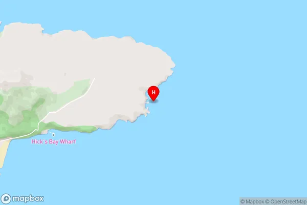
Kapokapo BayKapokapo Bay Area Map (Street)
Local Authority
Area outside Territorial AuthorityFull Address
Kapokapo Bay, Area outside Territorial Authority, New ZealandAddress Type
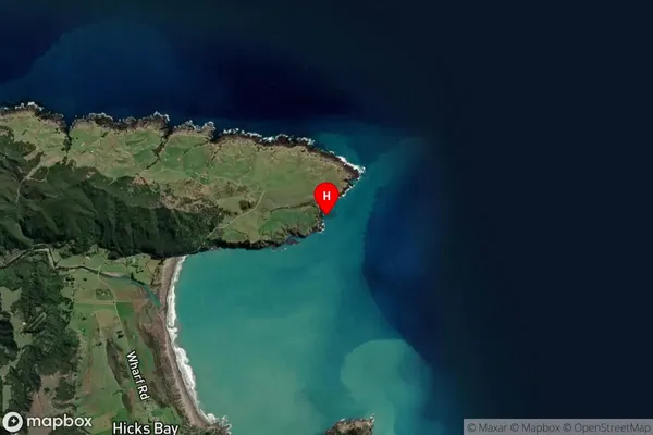
Coastal BayKapokapo Bay Suburb Map (Satellite)
Country
Main Region in AU
GisborneKapokapo Bay Region Map

Coordinates
-37.564944,178.318639 (latitude/longitude)Distances
The distance from Kapokapo Bay, , Area outside Territorial Authority to NZ Top 10 Cities