Kanae Bay Area, Kanae Bay Postcode & Map in Kanae Bay
Kanae Bay Area, Kanae Bay Postcode & Map in Kanae Bay, Marlborough District, New Zealand
Kanae Bay, Marlborough District, New Zealand
Kanae Bay Area (estimated)
0.7 square kilometersKanae Bay Population (estimated)
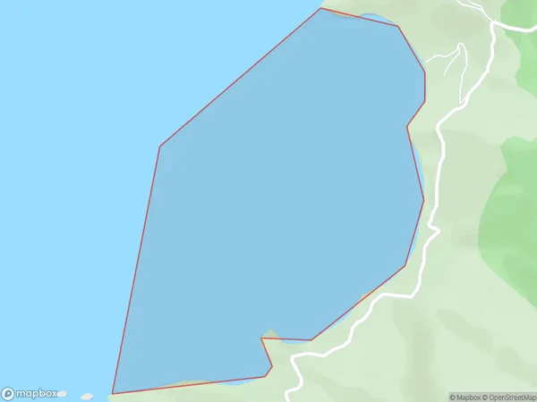
0 people live in Kanae Bay, Marlborough, NZKanae Bay Suburb Area Map (Polygon)
Kanae Bay Introduction
Kanae Bay is a picturesque beach located in Marlborough, New Zealand. It is known for its crystal-clear waters, stunning coastal views, and peaceful atmosphere. The bay is a popular spot for swimming, kayaking, and fishing, and it is surrounded by lush green forests and picturesque farmland. The bay has a small campground and a few restaurants, making it a convenient destination for a day trip or a longer stay.Region
Suburb Name
Kanae BayOther Name(s)
Port Underwood, Cook StraitKanae Bay Area Map (Street)

Local Authority
Marlborough DistrictFull Address
Kanae Bay, Marlborough District, New ZealandAddress Type
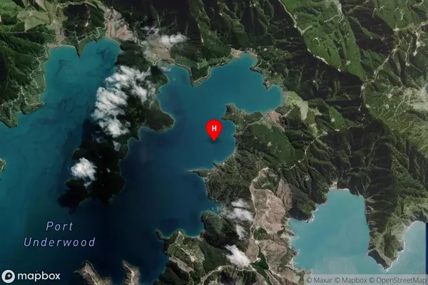
Coastal BayKanae Bay Suburb Map (Satellite)
Country
Main Region in AU
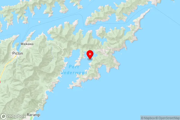
MarlboroughKanae Bay Region Map
Coordinates
-41.302359,174.1725353 (latitude/longitude)Distances
The distance from Kanae Bay, , Marlborough District to NZ Top 10 Cities