Kakapo Bay Area, Kakapo Bay Postcode & Map in Kakapo Bay
Kakapo Bay Area, Kakapo Bay Postcode & Map in Kakapo Bay, Marlborough District, New Zealand
Kakapo Bay, Marlborough District, New Zealand
Kakapo Bay Area (estimated)
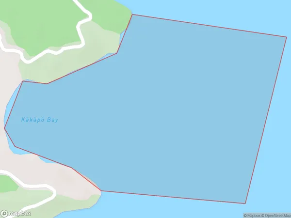
0.6 square kilometersKakapo Bay Population (estimated)
0 people live in Kakapo Bay, Marlborough, NZKakapo Bay Suburb Area Map (Polygon)
Kakapo Bay Introduction
Kakapo Bay is a small bay and beach located in the Marlborough region of New Zealand's South Island. It is known for its population of rare and endangered Kakapo birds, which are the world's heaviest parrots. The bay and its surrounding area are protected as a wildlife reserve, and efforts are ongoing to ensure the survival of the Kakapo species.Region
Suburb Name
Kakapo Bay (Maori Name: Kākāpō Bay)Other Name(s)
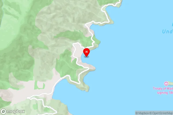
Port Underwood, Cook StraitKakapo Bay Area Map (Street)
Local Authority
Marlborough DistrictFull Address
Kakapo Bay, Marlborough District, New ZealandAddress Type
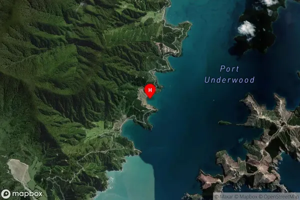
Coastal BayKakapo Bay Suburb Map (Satellite)
Country
Main Region in AU
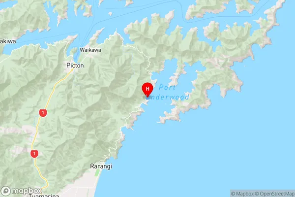
MarlboroughKakapo Bay Region Map
Coordinates
-41.3255711,174.108056 (latitude/longitude)Distances
The distance from Kakapo Bay, , Marlborough District to NZ Top 10 Cities