Kaituna Bay Area, Kaituna Bay Postcode & Map in Kaituna Bay
Kaituna Bay Area, Kaituna Bay Postcode & Map in Kaituna Bay, Area outside Territorial Authority, New Zealand
Kaituna Bay, Area outside Territorial Authority, New Zealand
Kaituna Bay Area (estimated)
0.1 square kilometersKaituna Bay Population (estimated)
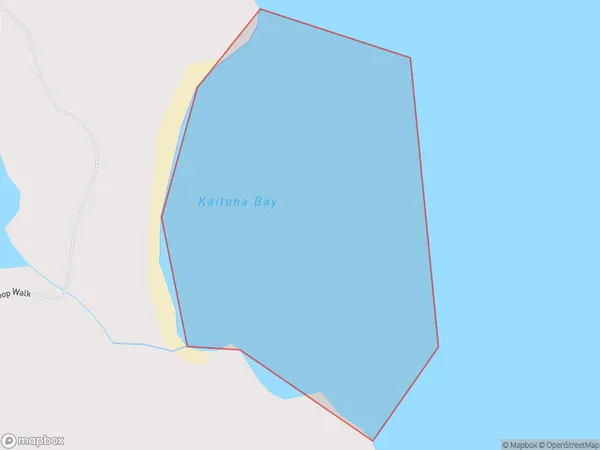
0 people live in Kaituna Bay, Northland, NZKaituna Bay Suburb Area Map (Polygon)
Kaituna Bay Introduction
Kaituna Bay is a large bay located in the Northland region of New Zealand. It is known for its clear waters, stunning coastal scenery, and diverse marine life. The bay is a popular destination for swimming, kayaking, and fishing, and is home to several species of whales and dolphins. It is also a significant archaeological site, with evidence of human settlement dating back thousands of years.Region
Suburb Name
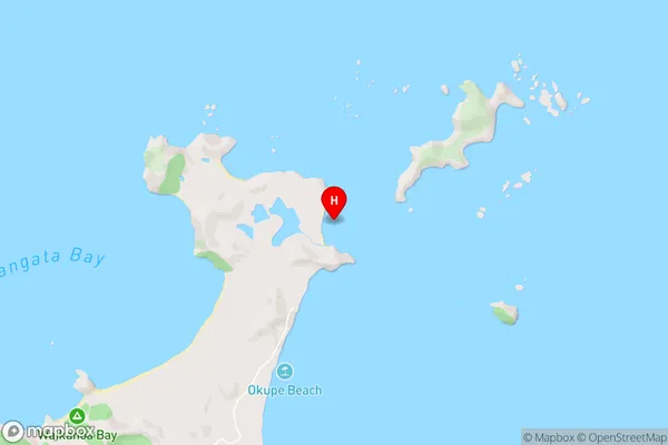
Kaituna BayKaituna Bay Area Map (Street)
Local Authority
Area outside Territorial AuthorityFull Address
Kaituna Bay, Area outside Territorial Authority, New ZealandAddress Type
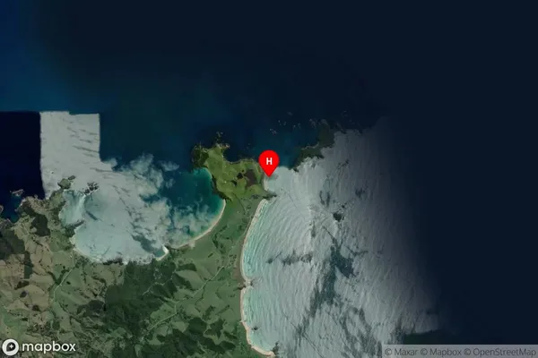
Coastal BayKaituna Bay Suburb Map (Satellite)
Country
Main Region in AU
NorthlandKaituna Bay Region Map

Coordinates
-35.4302532,174.4318843 (latitude/longitude)Distances
The distance from Kaituna Bay, , Area outside Territorial Authority to NZ Top 10 Cities