Kaitawa Inlet Area, Kaitawa Inlet Postcode(3843) & Map in Kaitawa Inlet
Kaitawa Inlet Area, Kaitawa Inlet Postcode(3843) & Map in Kaitawa Inlet, Otorohanga District, New Zealand
Kaitawa Inlet, Otorohanga District, New Zealand
Kaitawa Inlet Postcodes
Kaitawa Inlet Area (estimated)
0.7 square kilometersKaitawa Inlet Population (estimated)
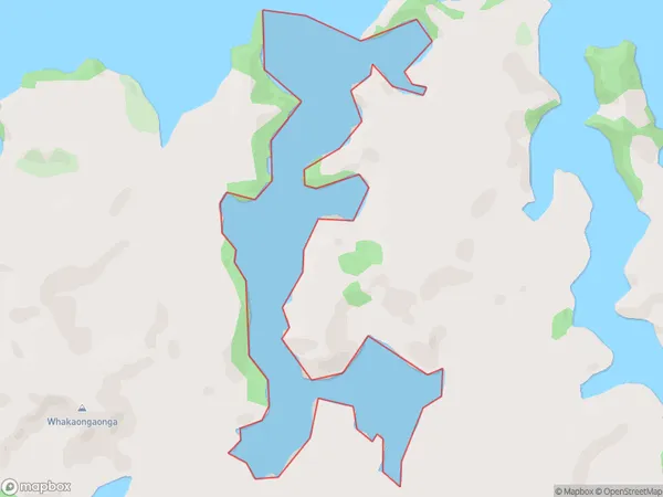
0 people live in Kaitawa Inlet, Waikato, NZKaitawa Inlet Suburb Area Map (Polygon)
Kaitawa Inlet Introduction
Kaitawa Inlet is a small, shallow inlet of the Waikato River, located in the Waikato region of New Zealand's North Island. It is known for its scenic beauty, with rugged cliffs and lush vegetation lining the shoreline. The inlet is a popular spot for fishing, kayaking, and boating, and is home to a variety of bird species, including pelicans and terns.Region
Suburb Name
Kaitawa InletOther Name(s)
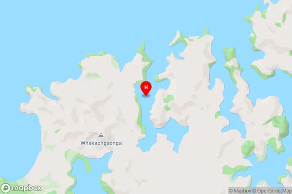
Kawhia HarbourKaitawa Inlet Area Map (Street)
Local Authority
Otorohanga District (Maori Name: Ōtorohanga District)Full Address
Kaitawa Inlet, Otorohanga District, New ZealandAddress Type
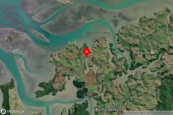
Coastal BayKaitawa Inlet Suburb Map (Satellite)
Country
Main Region in AU
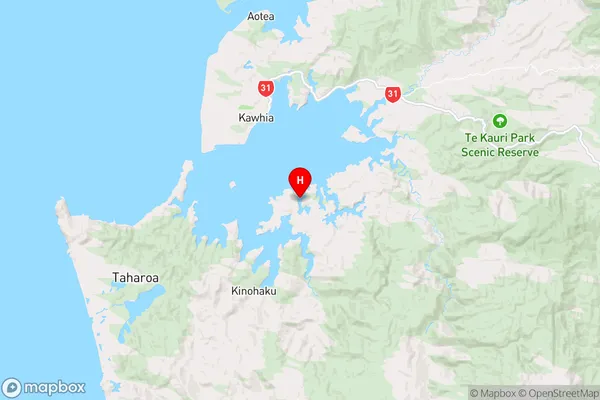
WaikatoKaitawa Inlet Region Map
Coordinates
-38.109611,174.848472 (latitude/longitude)Distances
The distance from Kaitawa Inlet, , Otorohanga District to NZ Top 10 Cities