Kaitarakihi Bay Area, Kaitarakihi Bay Postcode(2025) & Map in Kaitarakihi Bay
Kaitarakihi Bay Area, Kaitarakihi Bay Postcode(2025) & Map in Kaitarakihi Bay, Auckland, New Zealand
Kaitarakihi Bay, Auckland, New Zealand
Kaitarakihi Bay Postcodes
Kaitarakihi Bay Area (estimated)
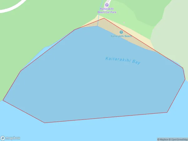
0.2 square kilometersKaitarakihi Bay Population (estimated)
0 people live in Kaitarakihi Bay, Waitākere Ranges, NZKaitarakihi Bay Suburb Area Map (Polygon)
Kaitarakihi Bay Introduction
Kaitarakihi Bay is a small, sheltered bay located in the Auckland region of New Zealand. It is known for its calm waters, sandy beaches, and stunning coastal scenery. The bay is a popular spot for swimming, kayaking, and paddleboarding, and is home to a variety of marine life, including fish, birds, and seals. It is also a popular filming location, with several movies and TV shows having been shot in the area.Region
Major City
Suburb Name
Kaitarakihi BayOther Name(s)
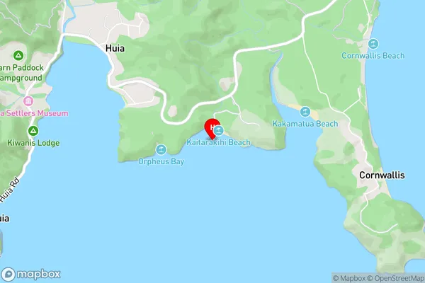
Manukau HarbourKaitarakihi Bay Area Map (Street)
Local Authority
AucklandFull Address
Kaitarakihi Bay, Auckland, New ZealandAddress Type
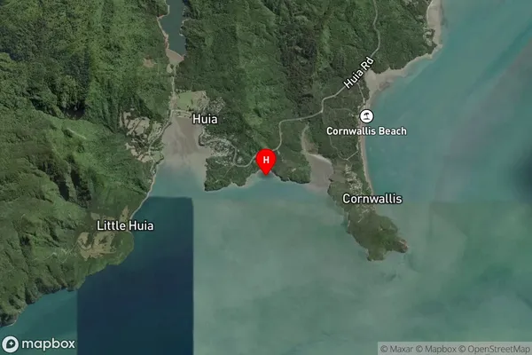
Coastal BayKaitarakihi Bay Suburb Map (Satellite)
Country
Main Region in AU
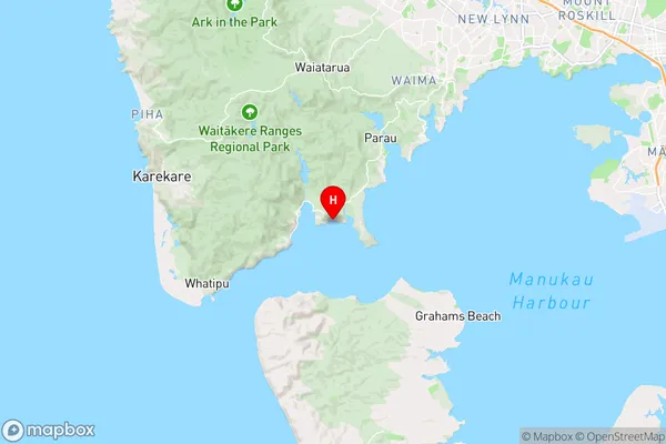
AucklandKaitarakihi Bay Region Map
Coordinates
-37.0087592,174.584696361516 (latitude/longitude)Distances
The distance from Kaitarakihi Bay, , Auckland to NZ Top 10 Cities