Kaimarama Bay Area, Kaimarama Bay Postcode & Map in Kaimarama Bay
Kaimarama Bay Area, Kaimarama Bay Postcode & Map in Kaimarama Bay, Far North District, New Zealand
Kaimarama Bay, Far North District, New Zealand
Kaimarama Bay Area (estimated)
0.1 square kilometersKaimarama Bay Population (estimated)
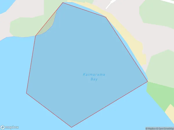
0 people live in Kaimarama Bay, Bay of Islands-Whangaroa Community, NZKaimarama Bay Suburb Area Map (Polygon)
Kaimarama Bay Introduction
Kaimarama Bay is a popular beach in Northland, New Zealand, known for its golden sand, clear waters, and stunning coastal scenery. It is a popular spot for swimming, surfing, and fishing and is surrounded by native forests and picturesque hills. The bay has a rich cultural history and is considered a sacred place by the local Maori people.Region
Major City
Suburb Name
Kaimarama BayOther Name(s)
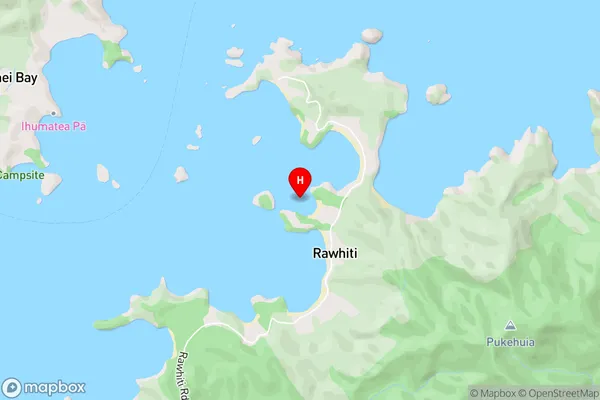
Te Rawhiti Inlet, Bay Of Islands, Oruruhoa BayKaimarama Bay Area Map (Street)
Local Authority
Far North DistrictFull Address
Kaimarama Bay, Far North District, New ZealandAddress Type
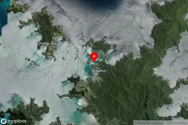
Coastal BayKaimarama Bay Suburb Map (Satellite)
Country
Main Region in AU
NorthlandKaimarama Bay Region Map

Coordinates
-35.2293277,174.258124 (latitude/longitude)Distances
The distance from Kaimarama Bay, , Far North District to NZ Top 10 Cities