Kaikoura Bay Area, Kaikoura Bay Postcode & Map in Kaikoura Bay
Kaikoura Bay Area, Kaikoura Bay Postcode & Map in Kaikoura Bay, Marlborough District, New Zealand
Kaikoura Bay, Marlborough District, New Zealand
Kaikoura Bay Area (estimated)
0.4 square kilometersKaikoura Bay Population (estimated)
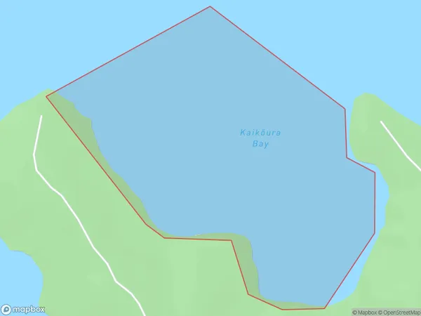
0 people live in Kaikoura Bay, Marlborough, NZKaikoura Bay Suburb Area Map (Polygon)
Kaikoura Bay Introduction
Kaikoura Bay is a popular tourist destination in Marlborough, New Zealand, known for its diverse marine life, including whales, dolphins, and seals. It is also a popular spot for whale watching tours and other outdoor activities. The bay is home to a large population of fur seals, and it is a significant breeding ground for several species of seabirds.Region
Suburb Name
Kaikoura Bay (Maori Name: Kaikōura Bay)Other Name(s)
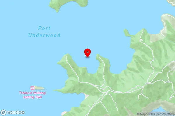
Port Underwood, Cook StraitKaikoura Bay Area Map (Street)
Local Authority
Marlborough DistrictFull Address
Kaikoura Bay, Marlborough District, New ZealandAddress Type
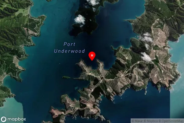
Coastal BayKaikoura Bay Suburb Map (Satellite)
Country
Main Region in AU
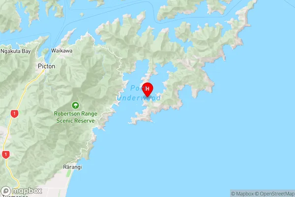
MarlboroughKaikoura Bay Region Map
Coordinates
-41.3247778,174.1479878 (latitude/longitude)Distances
The distance from Kaikoura Bay, , Marlborough District to NZ Top 10 Cities