Kaihiki Bay Area, Kaihiki Bay Postcode & Map in Kaihiki Bay
Kaihiki Bay Area, Kaihiki Bay Postcode & Map in Kaihiki Bay, Far North District, New Zealand
Kaihiki Bay, Far North District, New Zealand
Kaihiki Bay Area (estimated)
0.0 square kilometersKaihiki Bay Population (estimated)
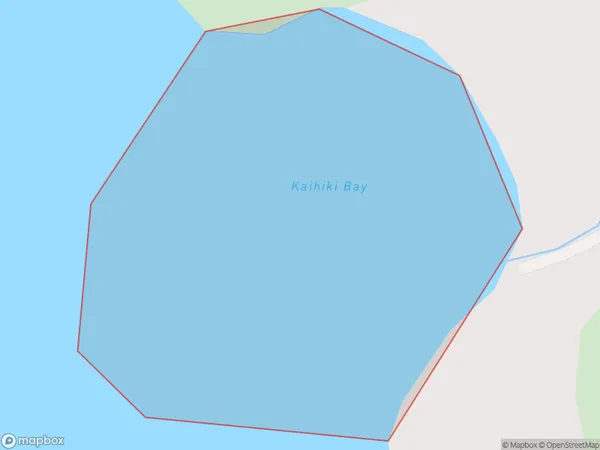
0 people live in Kaihiki Bay, Bay of Islands-Whangaroa Community, NZKaihiki Bay Suburb Area Map (Polygon)
Kaihiki Bay Introduction
Kaihiki Bay is a small, shallow bay on the Northland coast of New Zealand. It is known for its clear waters and stunning coastal scenery, including rugged cliffs, lush forests, and sandy beaches. The bay is a popular destination for swimming, kayaking, and fishing, and is home to a variety of marine species, including dolphins, whales, and seals. Kaihiki Bay is also a significant archaeological site, with several ancient pa sites located along its shores.Region
Major City
Suburb Name
Kaihiki BayOther Name(s)
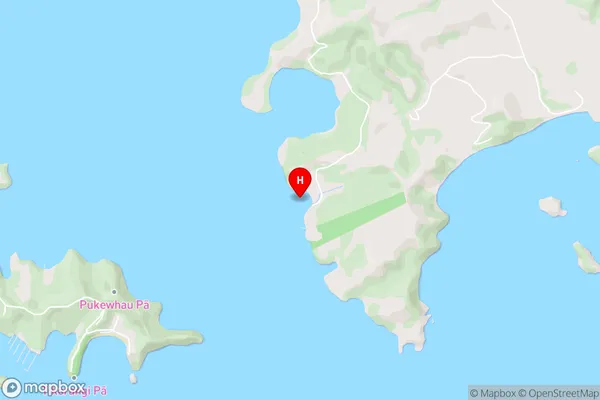
Te Puna Inlet, Bay Of IslandsKaihiki Bay Area Map (Street)
Local Authority
Far North DistrictFull Address
Kaihiki Bay, Far North District, New ZealandAddress Type
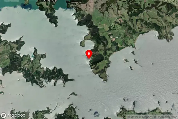
Coastal BayKaihiki Bay Suburb Map (Satellite)
Country
Main Region in AU
NorthlandKaihiki Bay Region Map

Coordinates
-35.1831731,174.0582633 (latitude/longitude)Distances
The distance from Kaihiki Bay, , Far North District to NZ Top 10 Cities