Jerdans Bay Area, Jerdans Bay Postcode & Map in Jerdans Bay
Jerdans Bay Area, Jerdans Bay Postcode & Map in Jerdans Bay, Marlborough District, New Zealand
Jerdans Bay, Marlborough District, New Zealand
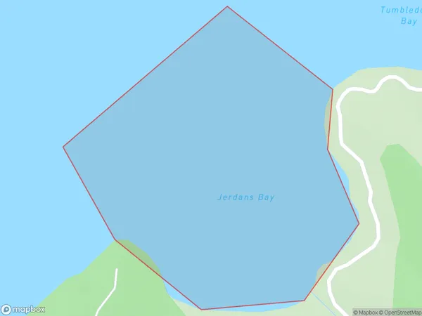
Jerdans Bay Area (estimated)
0.3 square kilometersJerdans Bay Population (estimated)
0 people live in Jerdans Bay, Marlborough, NZJerdans Bay Suburb Area Map (Polygon)
Jerdans Bay Introduction
Jerdans Bay is a small, sheltered bay located in the Marlborough region of New Zealand's South Island. It is known for its clear waters, sandy beaches, and stunning coastal scenery. The bay is a popular spot for swimming, kayaking, and fishing, and it is surrounded by picturesque farmland and vineyards. The bay has a rich history, with evidence of early Māori settlement dating back to around 1200 AD.Region
Suburb Name
Jerdans BayOther Name(s)
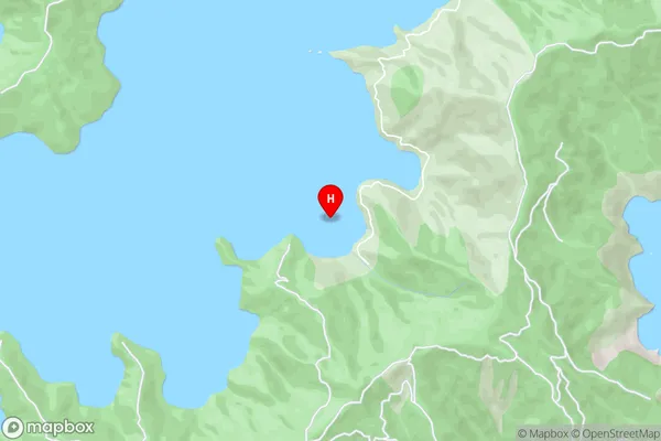
Port Underwood, Cook StraitJerdans Bay Area Map (Street)
Local Authority
Marlborough DistrictFull Address
Jerdans Bay, Marlborough District, New ZealandAddress Type
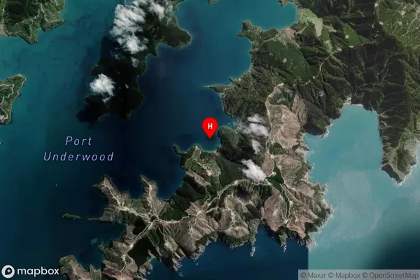
Coastal BayJerdans Bay Suburb Map (Satellite)
Country
Main Region in AU
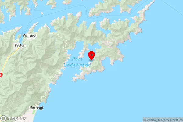
MarlboroughJerdans Bay Region Map
Coordinates
-41.3173326,174.1675786 (latitude/longitude)Distances
The distance from Jerdans Bay, , Marlborough District to NZ Top 10 Cities