Isthmus Sound Area, Isthmus Sound Postcode & Map in Isthmus Sound
Isthmus Sound Area, Isthmus Sound Postcode & Map in Isthmus Sound, Southland District, New Zealand
Isthmus Sound, Southland District, New Zealand
Isthmus Sound Area (estimated)
5.4 square kilometersIsthmus Sound Population (estimated)
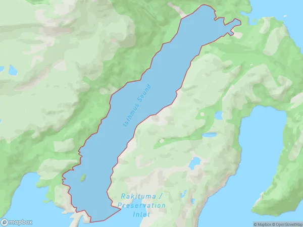
0 people live in Isthmus Sound, Southland, NZIsthmus Sound Suburb Area Map (Polygon)
Isthmus Sound Introduction
The Isthmus Sound is a narrow, 10-kilometer-long stretch of water that connects the Southland region of New Zealand to the Otago Peninsula. It is known for its scenic beauty, including rugged cliffs, dense forests, and picturesque beaches. The sound is also home to a variety of wildlife, including seals, dolphins, and penguins. The Isthmus Sound is a popular destination for outdoor activities such as hiking, kayaking, and fishing, and is also home to several small settlements and communities.Region
Suburb Name
Isthmus SoundOther Name(s)
Rakituma / Preservation InletIsthmus Sound Area Map (Street)

Local Authority
Southland DistrictFull Address
Isthmus Sound, Southland District, New ZealandAddress Type
Coastal BayIsthmus Sound Suburb Map (Satellite)

Country
Main Region in AU
SouthlandIsthmus Sound Region Map

Coordinates
-46.0392931,166.704885644402 (latitude/longitude)Distances
The distance from Isthmus Sound, , Southland District to NZ Top 10 Cities