Island Nook Area, Island Nook Postcode & Map in Island Nook
Island Nook Area, Island Nook Postcode & Map in Island Nook, Area outside Territorial Authority, New Zealand
Island Nook, Area outside Territorial Authority, New Zealand
Island Nook Area (estimated)
0.1 square kilometersIsland Nook Population (estimated)
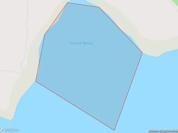
0 people live in Island Nook, Canterbury, NZIsland Nook Suburb Area Map (Polygon)
Region
Suburb Name
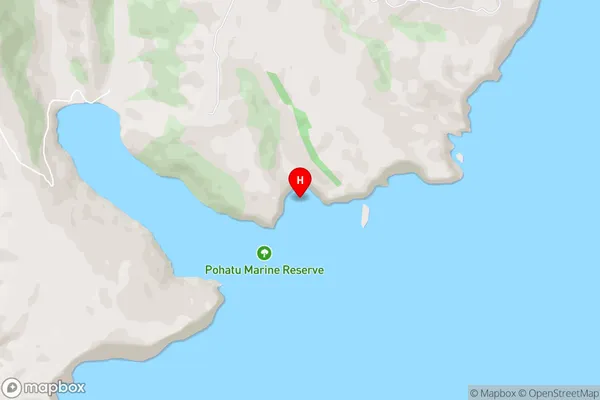
Island NookIsland Nook Area Map (Street)
Local Authority
Area outside Territorial AuthorityFull Address
Island Nook, Area outside Territorial Authority, New ZealandAddress Type
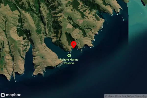
Coastal BayIsland Nook Suburb Map (Satellite)
Country
Main Region in AU
CanterburyIsland Nook Region Map

Coordinates
-43.8742771,173.0243144 (latitude/longitude)Distances
The distance from Island Nook, , Area outside Territorial Authority to NZ Top 10 Cities