Island Bay Area, Island Bay Postcode(6023) & Map in Island Bay
Island Bay Area, Island Bay Postcode(6023) & Map in Island Bay, Auckland, New Zealand
Island Bay, Auckland, New Zealand
Island Bay Postcodes
Island Bay Area (estimated)
0.1 square kilometersIsland Bay Population (estimated)
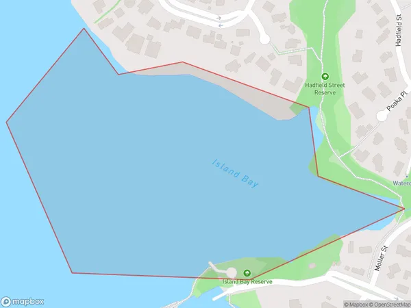
0 people live in Island Bay, Kaipātiki, NZIsland Bay Suburb Area Map (Polygon)
Island Bay Introduction
Island Bay is a suburb of Auckland, New Zealand, located on the eastern coast of the North Island. It is known for its beautiful beaches, lush parks, and vibrant community. The suburb is home to a large population of Pacific Islanders and has a rich cultural heritage. Island Bay is also a popular destination for tourists and has several hotels, restaurants, and cafes.Region
Major City
Suburb Name
Island BayOther Name(s)
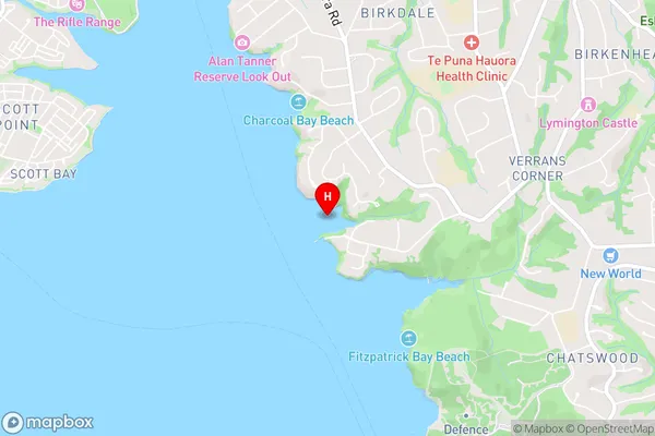
Waitemata Harbour, Hauraki Gulf (Maori Name: Waitematā Harbour, Hauraki Gulf)Island Bay Area Map (Street)
Local Authority
AucklandFull Address
Island Bay, Auckland, New ZealandAddress Type
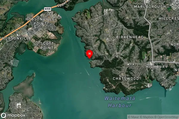
Coastal BayIsland Bay Suburb Map (Satellite)
Country
Main Region in AU
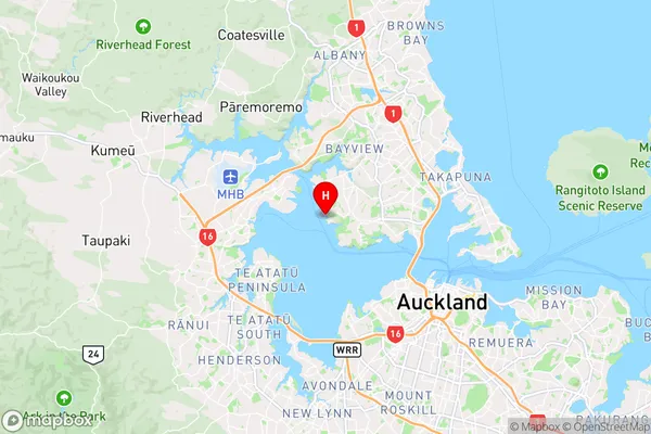
AucklandIsland Bay Region Map
Coordinates
-36.8090233,174.689284650175 (latitude/longitude)Distances
The distance from Island Bay, , Auckland to NZ Top 10 Cities