Howitt Bay Area, Howitt Bay Postcode(7845) & Map in Howitt Bay
Howitt Bay Area, Howitt Bay Postcode(7845) & Map in Howitt Bay, Grey District, New Zealand
Howitt Bay, Grey District, New Zealand
Howitt Bay Postcodes
Howitt Bay Area (estimated)
0.5 square kilometersHowitt Bay Population (estimated)
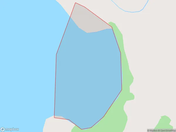
0 people live in Howitt Bay, West Coast, NZHowitt Bay Suburb Area Map (Polygon)
Howitt Bay Introduction
Howitt Bay is located on the West Coast of New Zealand's South Island. It is a popular destination for outdoor activities such as hiking, skiing, and fishing. The bay is also home to a small community of people who live in the surrounding area.Region
Suburb Name
Howitt BayOther Name(s)
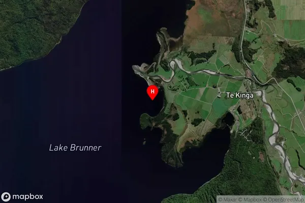
Lake Brunner (Moana)Howitt Bay Area Map (Street)
Local Authority
Grey DistrictFull Address
Howitt Bay, Grey District, New ZealandAddress Type
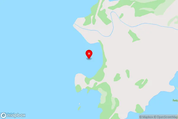
Inland BayHowitt Bay Suburb Map (Satellite)
Country
Main Region in AU
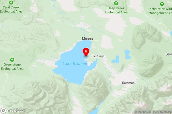
West CoastHowitt Bay Region Map
Coordinates
-42.6073211,171.4744767 (latitude/longitude)Distances
The distance from Howitt Bay, , Grey District to NZ Top 10 Cities