Howells Roads Area, Howells Roads Postcode(9822) & Map in Howells Roads
Howells Roads Area, Howells Roads Postcode(9822) & Map in Howells Roads, Area outside Territorial Authority, New Zealand
Howells Roads, Area outside Territorial Authority, New Zealand
Howells Roads Postcodes
Howells Roads Area (estimated)
0.3 square kilometersHowells Roads Population (estimated)
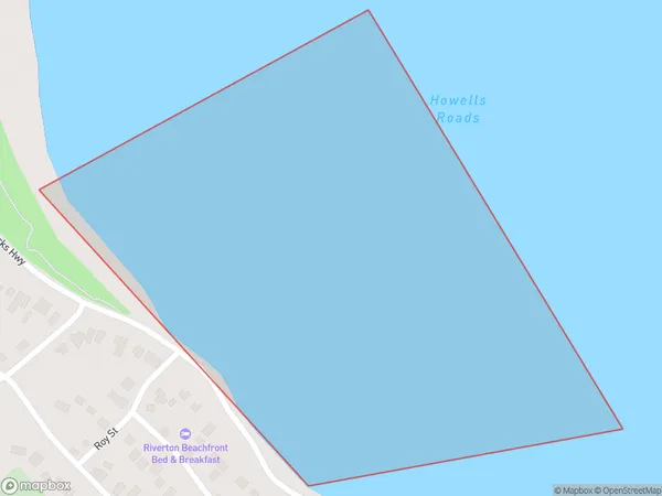
0 people live in Howells Roads, Southland, NZHowells Roads Suburb Area Map (Polygon)
Howells Roads Introduction
Howells Roads is a rural road in Southland, New Zealand. It is located in the Southland District and runs from the Southern Alps to the Pacific Ocean. The road is named after the Howell family, who were early settlers in the area.Region
Major City
Suburb Name
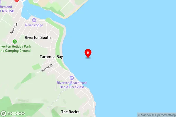
Howells RoadsHowells Roads Area Map (Street)
Local Authority
Area outside Territorial AuthorityFull Address
Howells Roads, Area outside Territorial Authority, New ZealandAddress Type
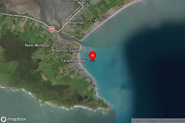
Coastal BayHowells Roads Suburb Map (Satellite)
Country
Main Region in AU
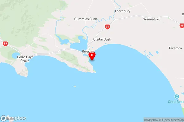
SouthlandHowells Roads Region Map
Coordinates
-46.366028,168.029222 (latitude/longitude)Distances
The distance from Howells Roads, , Area outside Territorial Authority to NZ Top 10 Cities