Kingsland Area, Kingsland Postcode(1021) & Map in Kingsland
Kingsland Area, Kingsland Postcode(1021) & Map in Kingsland, Auckland, New Zealand
Kingsland, Auckland, New Zealand
Kingsland Postcodes
Kingsland Area (estimated)
0.7 square kilometersKingsland Population (estimated)
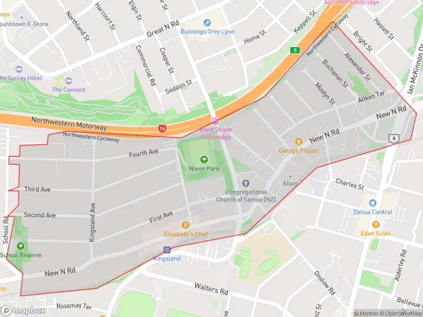
2660 people live in Kingsland, Albert-Eden, NZKingsland Suburb Area Map (Polygon)

Kingsland Introduction
Kingsland is a suburb of Auckland, New Zealand, located in the Eastern Suburbs. It is known for its vibrant nightlife, with many bars and restaurants. The area is also home to the Kingsland Shopping Centre, a popular retail destination. Kingsland is well-connected to the rest of the city, with public transport options such as buses and trains.Region
Major City
Suburb Name
KingslandOther Name(s)
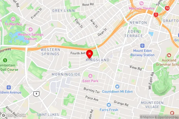
Mt AlbertKingsland Area Map (Street)

Local Authority
AucklandFull Address
Kingsland, Auckland, New ZealandAddress Type
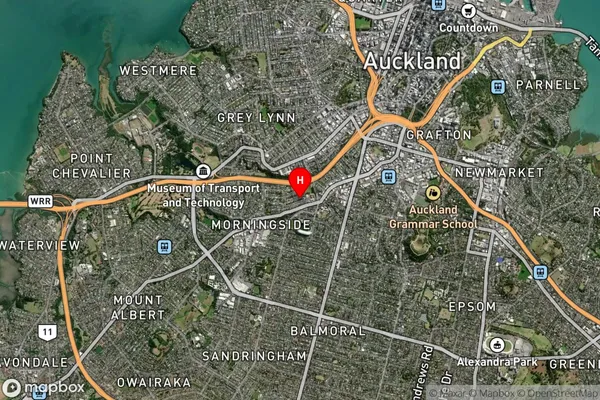
Suburb in City AucklandKingsland Suburb Map (Satellite)

Country
Main Region in AU
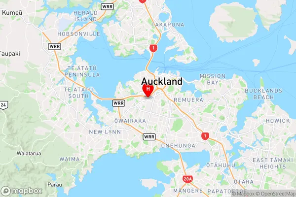
AucklandKingsland Region Map

Coordinates
-36.871195,174.7439365 (latitude/longitude)Distances
The distance from Kingsland, Auckland, Auckland to NZ Top 10 Cities