Houhora Bay Area, Houhora Bay Postcode & Map in Houhora Bay
Houhora Bay Area, Houhora Bay Postcode & Map in Houhora Bay, Area outside Territorial Authority, New Zealand
Houhora Bay, Area outside Territorial Authority, New Zealand
Houhora Bay Area (estimated)
2.1 square kilometersHouhora Bay Population (estimated)
0 people live in Houhora Bay, Northland, NZHouhora Bay Suburb Area Map (Polygon)

Houhora Bay Introduction
Houhora Bay is a popular fishing and boating spot in Northland, New Zealand. It is known for its clear waters and stunning coastal scenery. The bay is also home to a large population of fur seals, which can be seen basking in the sun on the rocks or swimming in the waters. Visitors can take boat tours to see the seals up close, or hike along the coastal paths to explore the area. Houhora Bay is a must-visit destination for anyone interested in nature, wildlife, and outdoor activities.Region
Suburb Name
Houhora BayOther Name(s)
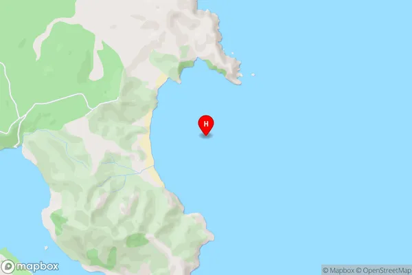
Rangaunu BayHouhora Bay Area Map (Street)
Local Authority
Area outside Territorial AuthorityFull Address
Houhora Bay, Area outside Territorial Authority, New ZealandAddress Type
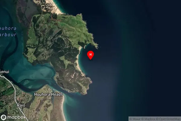
Coastal BayHouhora Bay Suburb Map (Satellite)
Country
Main Region in AU
NorthlandHouhora Bay Region Map

Coordinates
-34.8101078,173.1705581 (latitude/longitude)Distances
The distance from Houhora Bay, , Area outside Territorial Authority to NZ Top 10 Cities