Horseshoe Bay Area, Horseshoe Bay Postcode & Map in Horseshoe Bay
Horseshoe Bay Area, Horseshoe Bay Postcode & Map in Horseshoe Bay, Marlborough District, New Zealand
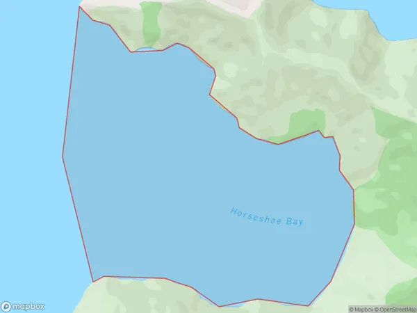
Horseshoe Bay, Marlborough District, New Zealand
Horseshoe Bay Area (estimated)
2.2 square kilometersHorseshoe Bay Population (estimated)
0 people live in Horseshoe Bay, Marlborough, NZHorseshoe Bay Suburb Area Map (Polygon)
Horseshoe Bay Introduction
Horseshoe Bay is a popular beach in Marlborough, New Zealand, known for its crystal-clear waters, stunning sunsets, and beautiful sandy coastline. It is a popular spot for swimming, sunbathing, and water sports such as kayaking and paddleboarding. The bay is also home to a variety of marine life, including seals, dolphins, and whales. Visitors can enjoy a range of accommodations, restaurants, and cafes in the nearby town of Picton, which is located at the bay's entrance.Region
Suburb Name
Horseshoe BayOther Name(s)
Waitata Reach (Maori Name: Waitātā Reach)Horseshoe Bay Area Map (Street)

Local Authority
Marlborough DistrictFull Address
Horseshoe Bay, Marlborough District, New ZealandAddress Type
Coastal BayHorseshoe Bay Suburb Map (Satellite)

Country
Main Region in AU
MarlboroughHorseshoe Bay Region Map

Coordinates
-41.0276285,173.944071630244 (latitude/longitude)Distances
The distance from Horseshoe Bay, , Marlborough District to NZ Top 10 Cities