Hope Arm Area, Hope Arm Postcode(9643) & Map in Hope Arm
Hope Arm Area, Hope Arm Postcode(9643) & Map in Hope Arm, Southland District, New Zealand
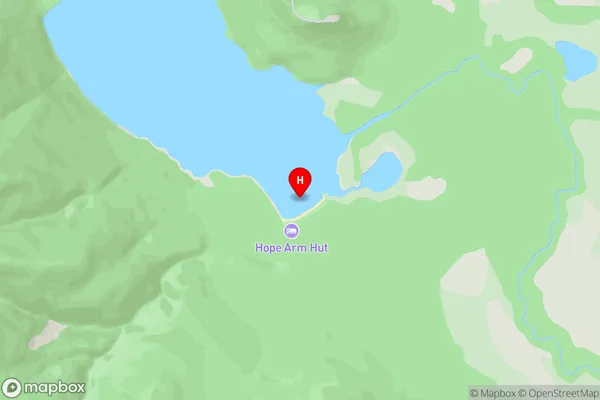
Hope Arm, Southland District, New Zealand
Hope Arm Postcodes
Hope Arm Area (estimated)
-1.2 square kilometersHope Arm Population (estimated)
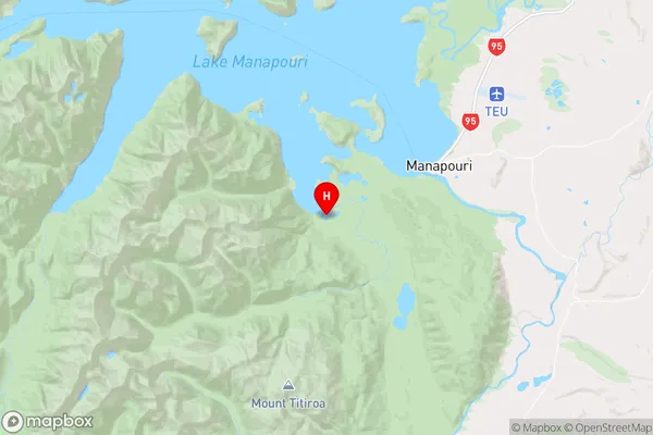
0 people live in Hope Arm, Fiordland Community, NZHope Arm Suburb Area Map (Polygon)
Not available for nowHope Arm Introduction
Hope Arm is a small bay and beach located in Fiordland National Park in Southland, New Zealand. It is accessible only by boat or a long, difficult hike and is known for its stunning natural beauty, including waterfalls, glaciers, and wildlife. The bay was named by Captain James Cook in 1770, who was impressed by the area's natural beauty and potential for trade.Region
Major City
Suburb Name
Hope ArmOther Name(s)
Lake ManapouriHope Arm Area Map (Street)
Local Authority
Southland DistrictFull Address
Hope Arm, Southland District, New ZealandAddress Type
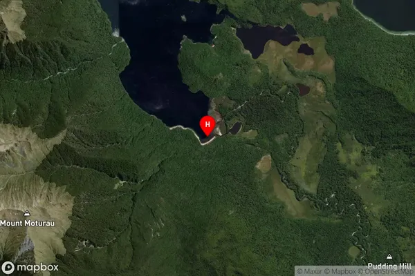
Inland BayHope Arm Suburb Map (Satellite)
Country
Main Region in AU
SouthlandHope Arm Region Map
Coordinates
-45.5880407,167.5423195 (latitude/longitude)Distances
The distance from Hope Arm, , Southland District to NZ Top 10 Cities