Hopai Bay Area, Hopai Bay Postcode & Map in Hopai Bay
Hopai Bay Area, Hopai Bay Postcode & Map in Hopai Bay, Marlborough District, New Zealand
Hopai Bay, Marlborough District, New Zealand
Hopai Bay Area (estimated)
0.5 square kilometersHopai Bay Population (estimated)
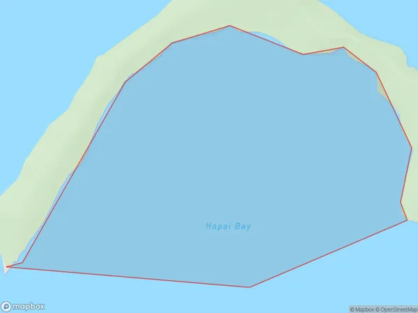
0 people live in Hopai Bay, Marlborough, NZHopai Bay Suburb Area Map (Polygon)
Hopai Bay Introduction
Hopai Bay is a small, shallow bay located in the Marlborough region of New Zealand's South Island. It is known for its clear waters, sandy beaches, and stunning coastal scenery. The bay is a popular spot for swimming, kayaking, and fishing, and is home to a variety of bird species, including penguins and sea birds. The bay is also surrounded by picturesque farmland and vineyards, making it a popular destination for day trips and weekend getaways.Region
Suburb Name
Hopai BayOther Name(s)
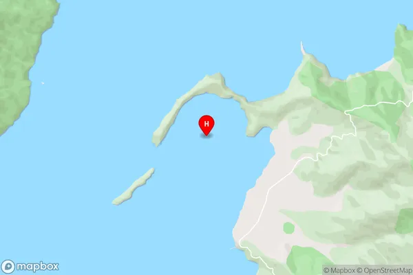
Crail Bay, Tawhitinui ReachHopai Bay Area Map (Street)
Local Authority
Marlborough DistrictFull Address
Hopai Bay, Marlborough District, New ZealandAddress Type
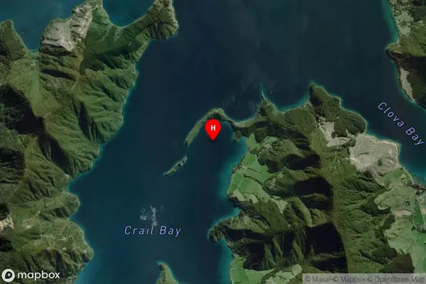
Coastal BayHopai Bay Suburb Map (Satellite)
Country
Main Region in AU
MarlboroughHopai Bay Region Map

Coordinates
-41.1055708,173.9865329 (latitude/longitude)Distances
The distance from Hopai Bay, , Marlborough District to NZ Top 10 Cities