Hoopers Inlet Area, Hoopers Inlet Postcode(9054) & Map in Hoopers Inlet
Hoopers Inlet Area, Hoopers Inlet Postcode(9054) & Map in Hoopers Inlet, Dunedin City, New Zealand
Hoopers Inlet, Dunedin City, New Zealand
Hoopers Inlet Postcodes
Hoopers Inlet Area (estimated)
4.5 square kilometersHoopers Inlet Population (estimated)
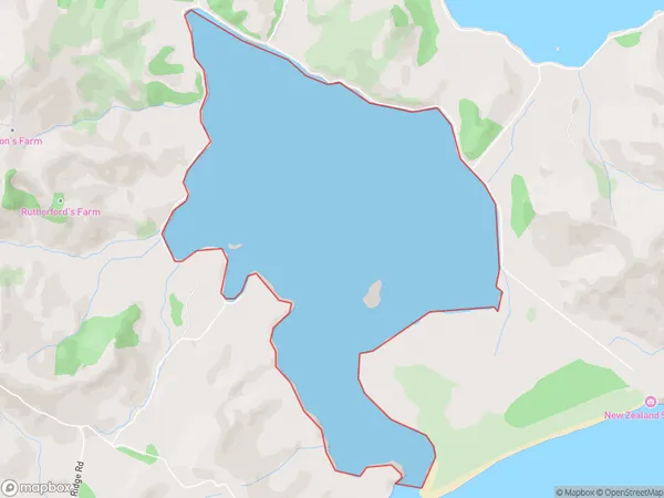
0 people live in Hoopers Inlet, Otago, NZHoopers Inlet Suburb Area Map (Polygon)
Hoopers Inlet Introduction
Hoopers Inlet is a small, sandy beach located in the southern region of New Zealand's Otago Peninsula. It is well-known for its stunning coastal scenery, including rugged cliffs, picturesque rock formations, and abundant birdlife. The inlet is a popular spot for swimming, kayaking, and fishing, and it is also home to a small community of residents. The area is surrounded by lush forest and farmland, and it offers a peaceful and tranquil environment away from the hustle and bustle of city life.Region
Suburb Name
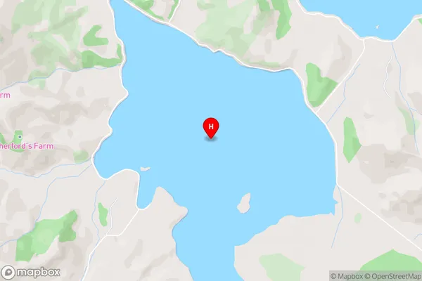
Hoopers InletHoopers Inlet Area Map (Street)
Local Authority
Dunedin CityFull Address
Hoopers Inlet, Dunedin City, New ZealandAddress Type
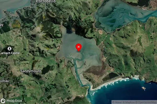
Coastal BayHoopers Inlet Suburb Map (Satellite)
Country
Main Region in AU
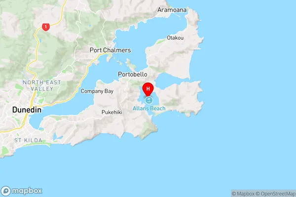
OtagoHoopers Inlet Region Map
Coordinates
-45.8631845,170.6724401 (latitude/longitude)Distances
The distance from Hoopers Inlet, , Dunedin City to NZ Top 10 Cities