Honeymoon Bay Area, Honeymoon Bay Postcode(7197) & Map in Honeymoon Bay
Honeymoon Bay Area, Honeymoon Bay Postcode(7197) & Map in Honeymoon Bay, Tasman District, New Zealand
Honeymoon Bay, Tasman District, New Zealand
Honeymoon Bay Postcodes
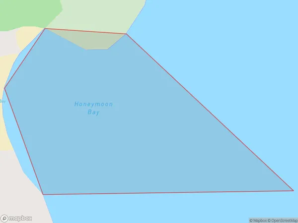
Honeymoon Bay Area (estimated)
0.0 square kilometersHoneymoon Bay Population (estimated)
0 people live in Honeymoon Bay, Tasman, NZHoneymoon Bay Suburb Area Map (Polygon)
Honeymoon Bay Introduction
Honeymoon Bay is a picturesque beach located in the Tasman region of New Zealand. It is known for its crystal-clear waters, golden sand, and stunning coastal scenery. The bay is a popular spot for swimming, kayaking, and fishing, and it is surrounded by lush forests and towering mountains. Visitors can also enjoy hiking and wildlife watching in the area. The bay is located on the southern coast of New Zealand's South Island and is accessible by road from nearby towns.Region
Suburb Name
Honeymoon BayOther Name(s)
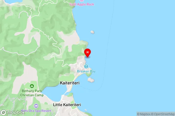
Tasman BayHoneymoon Bay Area Map (Street)
Local Authority
Tasman DistrictFull Address
Honeymoon Bay, Tasman District, New ZealandAddress Type
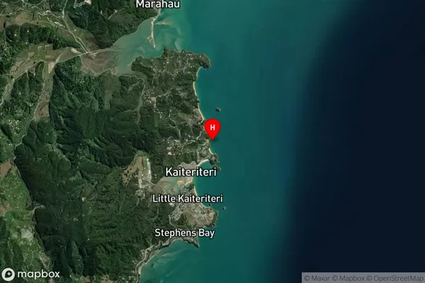
Coastal BayHoneymoon Bay Suburb Map (Satellite)
Country
Main Region in AU
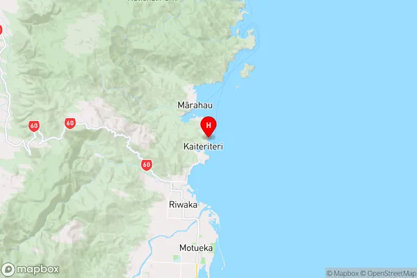
TasmanHoneymoon Bay Region Map
Coordinates
-41.0313971,173.0219218 (latitude/longitude)Distances
The distance from Honeymoon Bay, , Tasman District to NZ Top 10 Cities