Hollands Bay Area, Hollands Bay Postcode & Map in Hollands Bay
Hollands Bay Area, Hollands Bay Postcode & Map in Hollands Bay, Area outside Territorial Authority, New Zealand
Hollands Bay, Area outside Territorial Authority, New Zealand
Hollands Bay Area (estimated)
0.2 square kilometersHollands Bay Population (estimated)
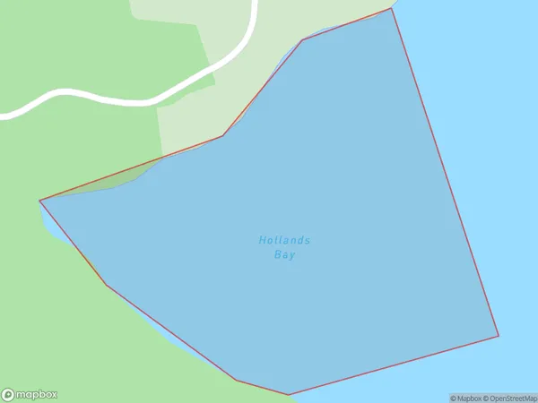
0 people live in Hollands Bay, Northland, NZHollands Bay Suburb Area Map (Polygon)
Hollands Bay Introduction
Hollands Bay is a large bay in the Northland region of New Zealand. It is located between the towns of Dargaville and Kaiwaka and is known for its beautiful beaches, clear waters, and stunning coastal scenery. The bay is a popular destination for swimming, fishing, and kayaking, and is home to a variety of marine species, including dolphins, whales, and seals.Region
Suburb Name
Hollands BayOther Name(s)
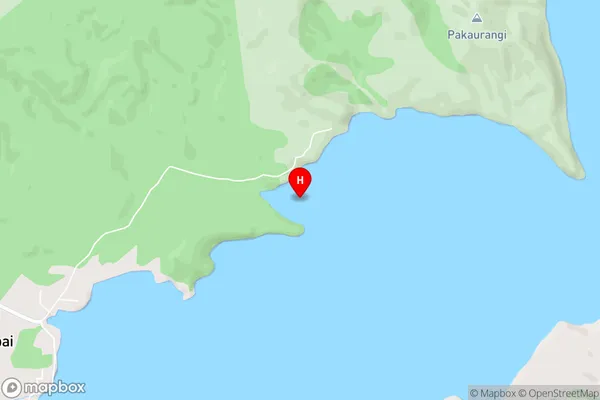
Kaipara HarbourHollands Bay Area Map (Street)
Local Authority
Area outside Territorial AuthorityFull Address
Hollands Bay, Area outside Territorial Authority, New ZealandAddress Type
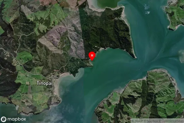
Coastal BayHollands Bay Suburb Map (Satellite)
Country
Main Region in AU
NorthlandHollands Bay Region Map

Coordinates
-36.2399003,174.2688397 (latitude/longitude)Distances
The distance from Hollands Bay, , Area outside Territorial Authority to NZ Top 10 Cities