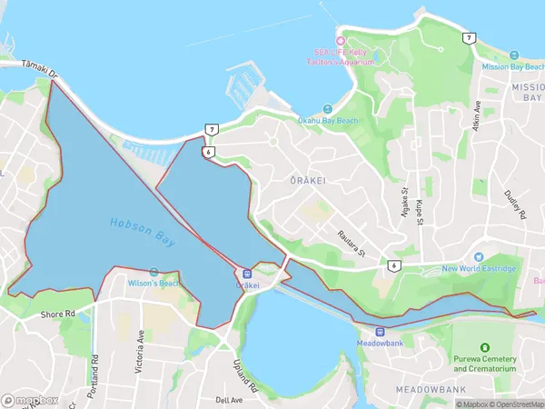
Hobson Bay Area, Hobson Bay Postcode(1148) & Map in Hobson Bay
Hobson Bay Area, Hobson Bay Postcode(1148) & Map in Hobson Bay, Auckland, New Zealand
Hobson Bay, Auckland, New Zealand
Hobson Bay Postcodes
Hobson Bay Area (estimated)
0.8 square kilometersHobson Bay Population (estimated)
0 people live in Hobson Bay, Ōrākei, NZHobson Bay Suburb Area Map (Polygon)
Hobson Bay Introduction
Hobson Bay is a suburban beach area in Auckland, New Zealand. It is located on the shores of the Waitemata Harbour and is known for its peaceful atmosphere, beautiful beaches, and vibrant community. The area has a variety of housing options, including apartments, townhouses, and standalone homes, and is popular with families, retirees, and young professionals. Hobson Bay is also home to several parks, including Hobson Bay Reserve and Tawharanui Regional Park, which offer a range of recreational activities, including walking, cycling, and picnicking. The area is well-connected to the city center by public transport, and is only a short drive from Auckland Airport.Region
Major City
Suburb Name
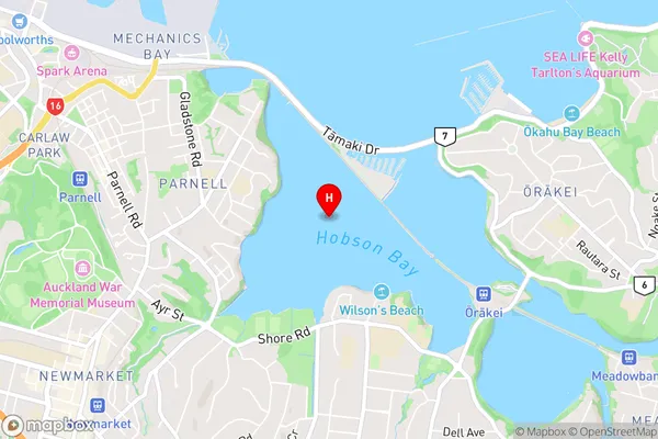
Hobson BayHobson Bay Area Map (Street)
Local Authority
AucklandFull Address
Hobson Bay, Auckland, New ZealandAddress Type
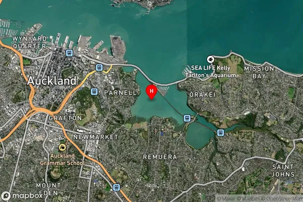
Coastal BayHobson Bay Suburb Map (Satellite)
Country
Main Region in AU
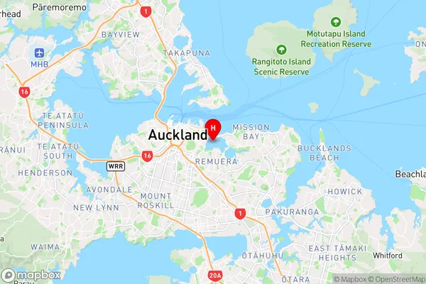
AucklandHobson Bay Region Map
Coordinates
-36.85763205,174.797098038627 (latitude/longitude)Distances
The distance from Hobson Bay, , Auckland to NZ Top 10 Cities