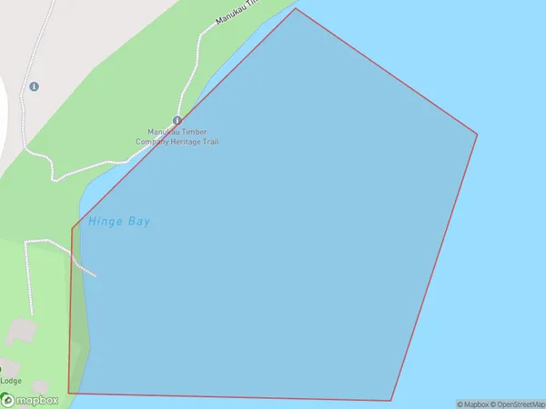
Hinge Bay Area, Hinge Bay Postcode(2025) & Map in Hinge Bay
Hinge Bay Area, Hinge Bay Postcode(2025) & Map in Hinge Bay, Auckland, New Zealand
Hinge Bay, Auckland, New Zealand
Hinge Bay Postcodes
Hinge Bay Area (estimated)
0.0 square kilometersHinge Bay Population (estimated)
0 people live in Hinge Bay, Waitākere Ranges, NZHinge Bay Suburb Area Map (Polygon)
Hinge Bay Introduction
Hinge Bay is a picturesque coastal suburb in Auckland, New Zealand. It is known for its stunning beaches, lush greenery, and peaceful atmosphere. The area is popular with families and outdoor enthusiasts, with many walking and hiking trails nearby. Hinge Bay also has a vibrant community with a variety of shops, restaurants, and cafes. The suburb is located about 20 minutes from downtown Auckland and is easily accessible by public transportation.Region
Major City
Suburb Name
Hinge BayOther Name(s)
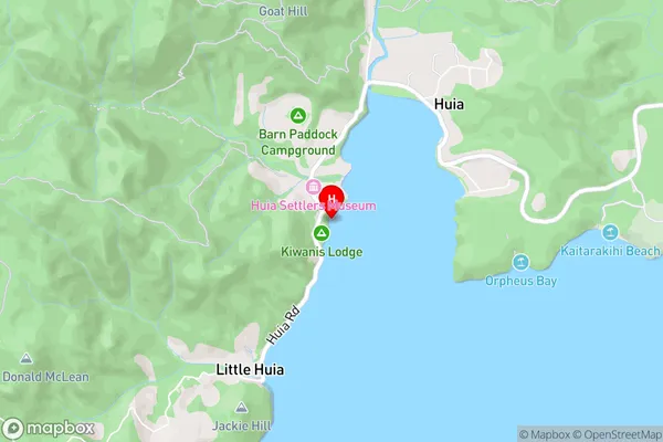
Manukau HarbourHinge Bay Area Map (Street)
Local Authority
AucklandFull Address
Hinge Bay, Auckland, New ZealandAddress Type
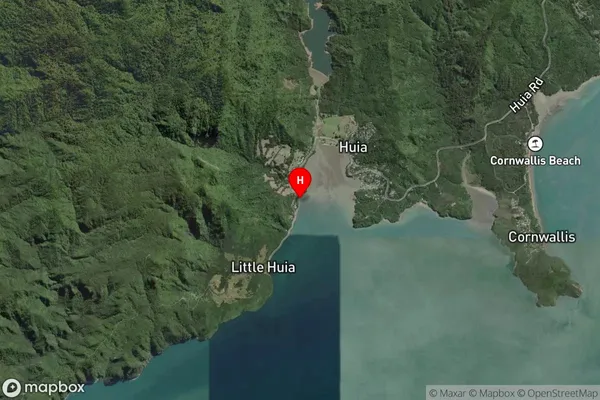
Coastal BayHinge Bay Suburb Map (Satellite)
Country
Main Region in AU
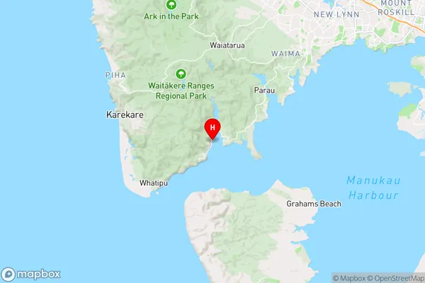
AucklandHinge Bay Region Map
Coordinates
-37.00697805,174.563751669833 (latitude/longitude)Distances
The distance from Hinge Bay, , Auckland to NZ Top 10 Cities