Kimbell Area, Kimbell Postcode & Map in Kimbell
Kimbell Area, Kimbell Postcode & Map in Kimbell, Mackenzie District, New Zealand
Kimbell, Mackenzie District, New Zealand
Kimbell Area (estimated)
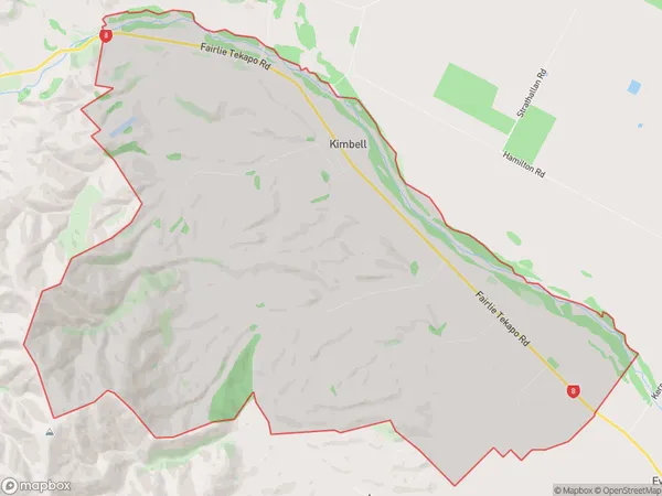
41.2 square kilometersKimbell Population (estimated)
144 people live in Kimbell, Canterbury, NZKimbell Suburb Area Map (Polygon)
Kimbell Introduction
Kimbell, Fairlie, Canterbury, New Zealand, was a large farm owned by the Kimbell family. It was established in the mid-1800s and became known for its high-quality wool and sheep. The farm also had a sawmill, cheese factory, and hotel. In 1987, the farm was sold to a local trust, and the buildings were restored and turned into a museum. The museum houses a collection of historic buildings, machinery, and artifacts, including a steam engine, vintage cars, and a collection of antique firearms.Region
Major City
Suburb Name
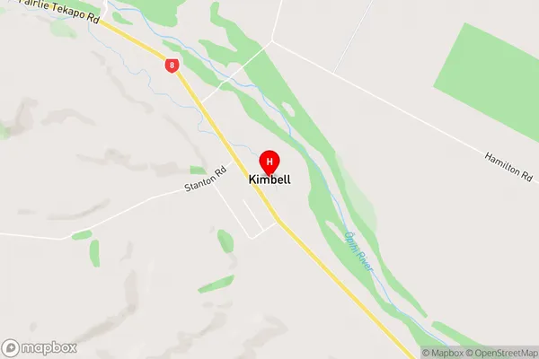
KimbellKimbell Area Map (Street)
Local Authority
Mackenzie DistrictFull Address
Kimbell, Mackenzie District, New ZealandAddress Type
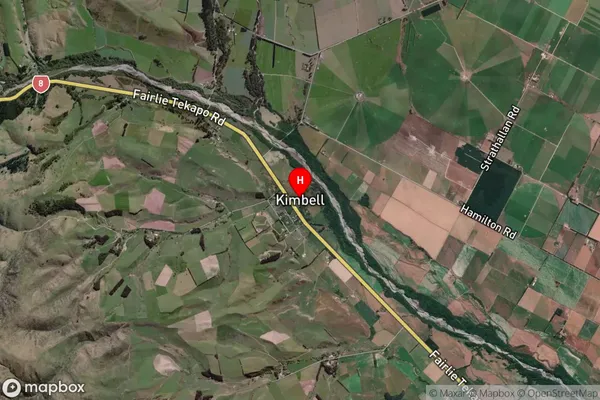
Locality in Town FairlieKimbell Suburb Map (Satellite)
Country
Main Region in AU
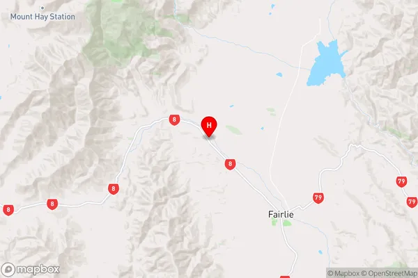
CanterburyKimbell Region Map
Coordinates
-44.044026,170.758099 (latitude/longitude)Distances
The distance from Kimbell, Fairlie, Mackenzie District to NZ Top 10 Cities