Herne Bay Area, Herne Bay Postcode(1011) & Map in Herne Bay
Herne Bay Area, Herne Bay Postcode(1011) & Map in Herne Bay, Auckland, New Zealand
Herne Bay, Auckland, New Zealand
Herne Bay Area (estimated)
0.0 square kilometersHerne Bay Population (estimated)
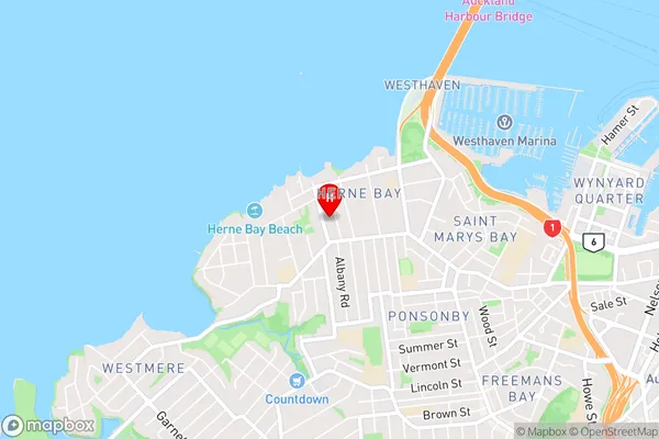
2980 people live in Herne Bay, Auckland, NZHerne Bay Suburb Area Map (Polygon)

Herne Bay Introduction
Herne Bay is a suburb of Auckland, New Zealand, located on the eastern coast of the Waitemata Harbour. It is known for its beaches, parks, and vibrant community. The suburb has a population of around 40,000 people and is located approximately 10 kilometers from the Auckland city center.Region
Major City
Suburb Name
Herne BayOther Name(s)
Waitemata Harbour, Hauraki Gulf (Maori Name: Waitematā Harbour, Hauraki Gulf)Herne Bay Area Map (Street)
Local Authority
AucklandFull Address
Herne Bay, Auckland, New ZealandAddress Type
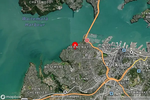
Coastal BayHerne Bay Suburb Map (Satellite)
Country
Main Region in AU
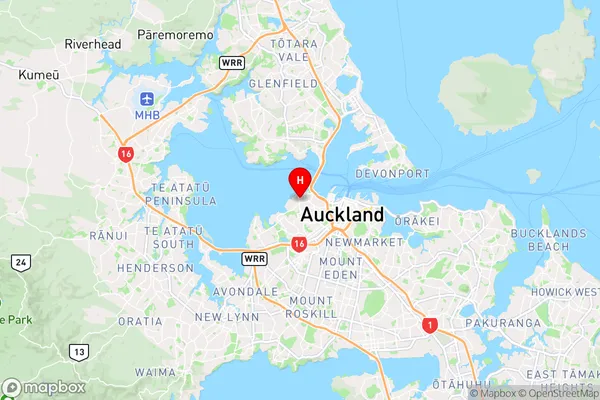
AucklandHerne Bay Region Map
Coordinates
-36.8441306,174.7341061 (latitude/longitude)Distances
The distance from Herne Bay, , Auckland to NZ Top 10 Cities