Herekino Harbour Area, Herekino Harbour Postcode & Map in Herekino Harbour
Herekino Harbour Area, Herekino Harbour Postcode & Map in Herekino Harbour, Far North District, New Zealand
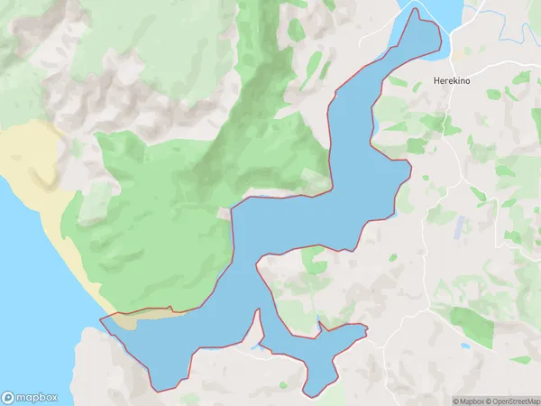
Herekino Harbour, Far North District, New Zealand
Herekino Harbour Area (estimated)
5.8 square kilometersHerekino Harbour Population (estimated)
0 people live in Herekino Harbour, Te Hiku Community, NZHerekino Harbour Suburb Area Map (Polygon)
Herekino Harbour Introduction
Herekino Harbour is located in Northland, New Zealand. It is a small harbor with a sandy beach and a range of recreational activities available, including fishing, kayaking, and hiking. The harbor is also home to a small community of around 100 people. The area is known for its stunning natural beauty, with rugged cliffs, lush forests, and crystal-clear waters.Region
Major City
Suburb Name
Herekino HarbourHerekino Harbour Area Map (Street)

Local Authority
Far North DistrictFull Address
Herekino Harbour, Far North District, New ZealandAddress Type
Coastal BayHerekino Harbour Suburb Map (Satellite)

Country
Main Region in AU
NorthlandHerekino Harbour Region Map

Coordinates
-35.27739045,173.198632198447 (latitude/longitude)Distances
The distance from Herekino Harbour, , Far North District to NZ Top 10 Cities