Hendersons Bay Area, Hendersons Bay Postcode(9822) & Map in Hendersons Bay
Hendersons Bay Area, Hendersons Bay Postcode(9822) & Map in Hendersons Bay, Area outside Territorial Authority, New Zealand
Hendersons Bay, Area outside Territorial Authority, New Zealand
Hendersons Bay Postcodes
Hendersons Bay Area (estimated)
0.1 square kilometersHendersons Bay Population (estimated)
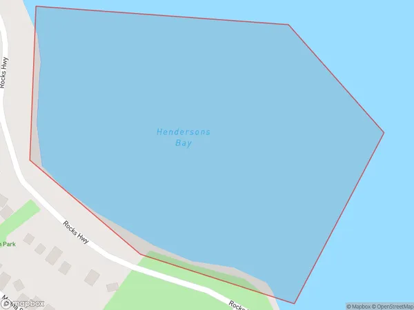
0 people live in Hendersons Bay, Southland, NZHendersons Bay Suburb Area Map (Polygon)
Hendersons Bay Introduction
Hendersons Bay is a small coastal town in Southland, New Zealand. It is located on the southern coast of the South Island, about 30 kilometers south of Invercargill. The town is known for its beautiful beaches, scenic surroundings, and friendly community. It is a popular destination for tourists and locals alike, with many activities to enjoy, including swimming, fishing, hiking, and kayaking.Region
Suburb Name
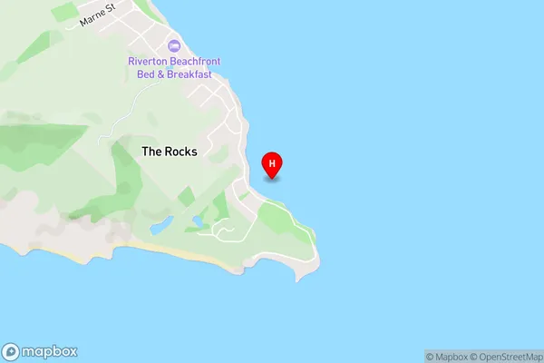
Hendersons BayHendersons Bay Area Map (Street)
Local Authority
Area outside Territorial AuthorityFull Address
Hendersons Bay, Area outside Territorial Authority, New ZealandAddress Type
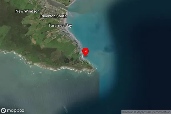
Coastal BayHendersons Bay Suburb Map (Satellite)
Country
Main Region in AU
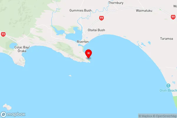
SouthlandHendersons Bay Region Map
Coordinates
-46.3787893,168.0337228 (latitude/longitude)Distances
The distance from Hendersons Bay, , Area outside Territorial Authority to NZ Top 10 Cities