Head of Bay Area, Head of Bay Postcode(7581) & Map in Head of Bay
Head of Bay Area, Head of Bay Postcode(7581) & Map in Head of Bay, Christchurch City, New Zealand
Head of Bay, Christchurch City, New Zealand
Head of Bay Postcodes
Head of Bay Area (estimated)
0.1 square kilometersHead of Bay Population (estimated)
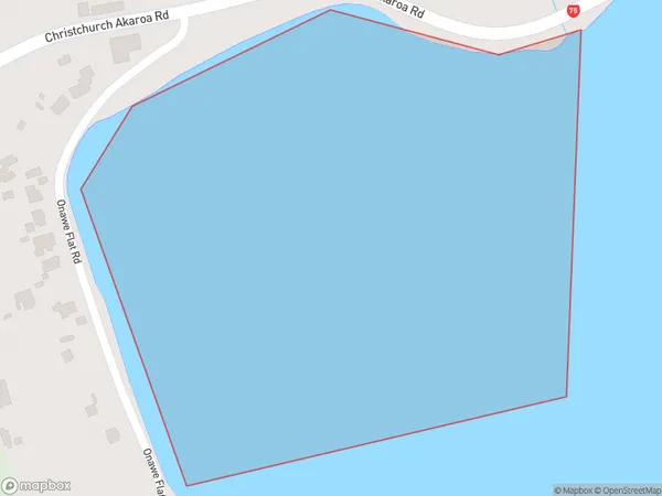
0 people live in Head of Bay, Banks Peninsula Community, NZHead of Bay Suburb Area Map (Polygon)
Head of Bay Introduction
The Head of Bay is a small bay and beach located in the Canterbury region of New Zealand. It is situated at the eastern end of the Akaroa Harbour and is known for its stunning natural beauty, including rugged cliffs, picturesque beaches, and abundant wildlife. The bay is a popular spot for swimming, kayaking, and fishing, and it is also home to a small community of residents. The Head of Bay is surrounded by a range of scenic landscapes, including the Akaroa Hills and the Port Hills, and is a popular destination for day trips and weekend getaways.Region
Major City
Suburb Name
Head of BayOther Name(s)
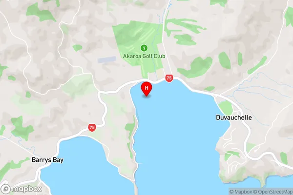
Duvauchelle Bay, Akaroa HarbourHead of Bay Area Map (Street)
Local Authority
Christchurch CityFull Address
Head of Bay, Christchurch City, New ZealandAddress Type
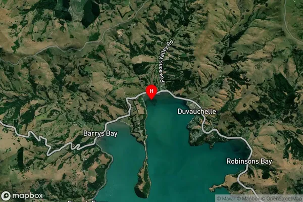
Coastal BayHead of Bay Suburb Map (Satellite)
Country
Main Region in AU
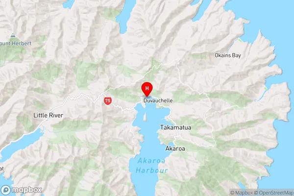
CanterburyHead of Bay Region Map
Coordinates
-43.752889,172.92925 (latitude/longitude)Distances
The distance from Head of Bay, , Christchurch City to NZ Top 10 Cities