Avalon Area, Avalon Postcode(5011) & Map in Avalon
Avalon Area, Avalon Postcode(5011) & Map in Avalon, Lower Hutt City, New Zealand
Avalon, Lower Hutt City, New Zealand
Avalon Area (estimated)
2.4 square kilometersAvalon Population (estimated)
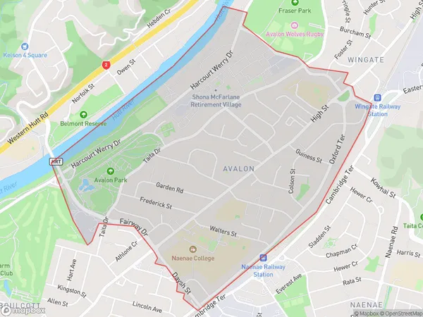
4957 people live in Avalon, Lower Hutt, NZAvalon Suburb Area Map (Polygon)
Avalon Introduction
Avalon is a suburb of Lower Hutt, Wellington, New Zealand, with a population of around 11,000 people. It is known for its peaceful atmosphere, scenic surroundings, and convenient location, with easy access to the city center and the surrounding areas. Avalon is also home to a variety of shops, restaurants, and recreational facilities, including the Avalon Park and the Avalon Pool and Leisure Center.Region
Major City
Suburb Name
AvalonOther Name(s)
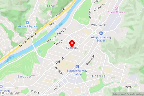
WingateAvalon Area Map (Street)
Local Authority
Lower Hutt CityFull Address
Avalon, Lower Hutt City, New ZealandAddress Type
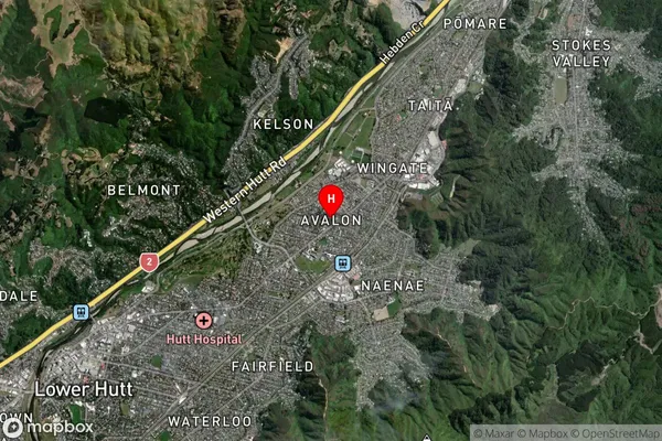
Suburb in City Lower HuttAvalon Suburb Map (Satellite)
Country
Main Region in AU
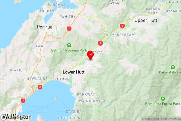
WellingtonAvalon Region Map
Coordinates
-41.1928328,174.9442724 (latitude/longitude)Distances
The distance from Avalon, Lower Hutt, Lower Hutt City to NZ Top 10 Cities