Hauparua Inlet Area, Hauparua Inlet Postcode & Map in Hauparua Inlet
Hauparua Inlet Area, Hauparua Inlet Postcode & Map in Hauparua Inlet, Far North District, New Zealand
Hauparua Inlet, Far North District, New Zealand
Hauparua Inlet Area (estimated)
0.6 square kilometersHauparua Inlet Population (estimated)
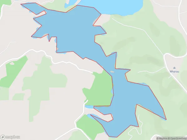
0 people live in Hauparua Inlet, Bay of Islands-Whangaroa Community, NZHauparua Inlet Suburb Area Map (Polygon)
Hauparua Inlet Introduction
Hauparua Inlet is located in Northland, New Zealand. It is known for its stunning natural beauty, including rugged cliffs, pristine beaches, and diverse marine life. The inlet is a popular spot for kayaking, fishing, and hiking, and is home to a small community of residents. The area is also rich in cultural heritage, with several ancient pa sites and a historic lighthouse.Region
Major City
Suburb Name
Hauparua InletOther Name(s)
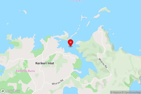
Bay Of IslandsHauparua Inlet Area Map (Street)
Local Authority
Far North DistrictFull Address
Hauparua Inlet, Far North District, New ZealandAddress Type
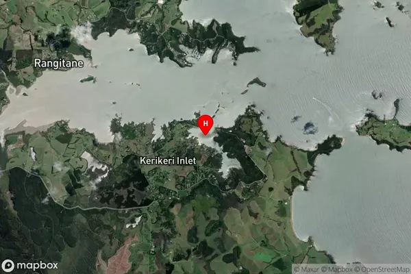
Coastal BayHauparua Inlet Suburb Map (Satellite)
Country
Main Region in AU
NorthlandHauparua Inlet Region Map

Coordinates
-35.2107078,174.0365561 (latitude/longitude)Distances
The distance from Hauparua Inlet, , Far North District to NZ Top 10 Cities