Haroto Bay Area, Haroto Bay Postcode & Map in Haroto Bay
Haroto Bay Area, Haroto Bay Postcode & Map in Haroto Bay, Waikato District, New Zealand
Haroto Bay, Waikato District, New Zealand
Haroto Bay Area (estimated)
1.7 square kilometersHaroto Bay Population (estimated)
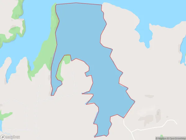
0 people live in Haroto Bay, Waikato, NZHaroto Bay Suburb Area Map (Polygon)
Haroto Bay Introduction
Haroto Bay is a small, shallow bay on the Waikato River, located in the Waikato region of New Zealand. It is a popular spot for swimming, boating, and fishing, and is also home to a small community of residents. The bay is surrounded by picturesque farmland and has a peaceful, relaxed atmosphere.Region
Suburb Name
Haroto BayOther Name(s)
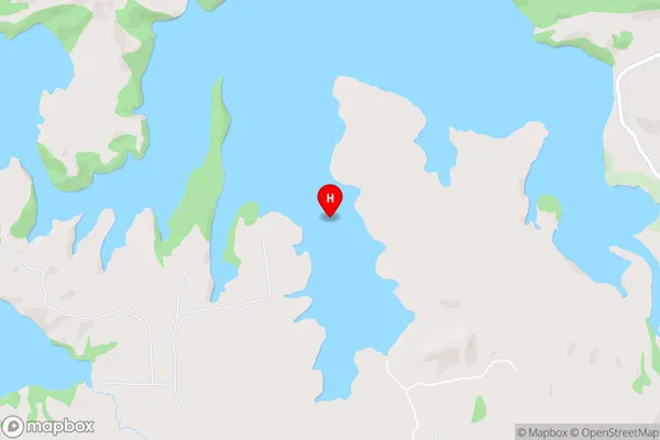
Whaingaroa HarbourHaroto Bay Area Map (Street)
Local Authority
Waikato DistrictFull Address
Haroto Bay, Waikato District, New ZealandAddress Type
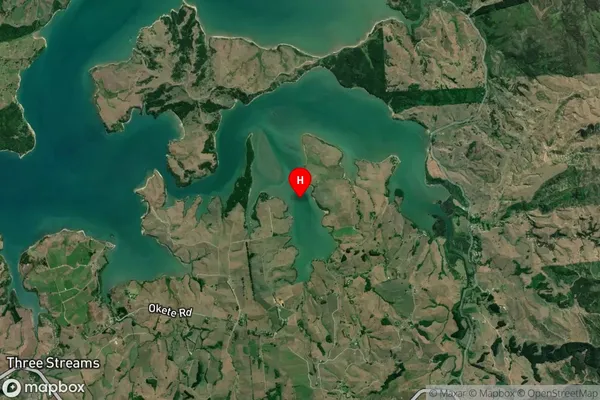
Coastal BayHaroto Bay Suburb Map (Satellite)
Country
Main Region in AU
WaikatoHaroto Bay Region Map

Coordinates
-37.797484,174.947296 (latitude/longitude)Distances
The distance from Haroto Bay, , Waikato District to NZ Top 10 Cities