Hals Bay Area, Hals Bay Postcode(9600) & Map in Hals Bay
Hals Bay Area, Hals Bay Postcode(9600) & Map in Hals Bay, Southland District, New Zealand
Hals Bay, Southland District, New Zealand
Hals Bay Postcodes
Hals Bay Area (estimated)
0.1 square kilometersHals Bay Population (estimated)
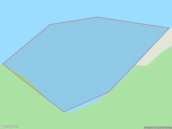
0 people live in Hals Bay, Fiordland Community, NZHals Bay Suburb Area Map (Polygon)
Hals Bay Introduction
Hals Bay is a small, sheltered bay located in Southland, New Zealand. It is known for its stunning turquoise waters, white sandy beaches, and surrounding natural beauty. The bay is a popular spot for swimming, kayaking, and fishing, and is home to a variety of wildlife, including seals, penguins, and dolphins.Region
Major City
Suburb Name
Hals BayOther Name(s)
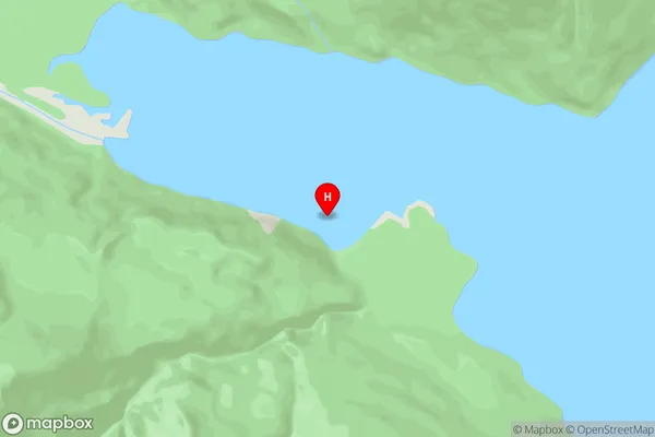
Worsley Arm, Lake Te AnauHals Bay Area Map (Street)
Local Authority
Southland DistrictFull Address
Hals Bay, Southland District, New ZealandAddress Type
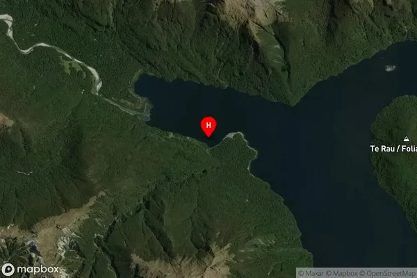
Inland BayHals Bay Suburb Map (Satellite)
Country
Main Region in AU
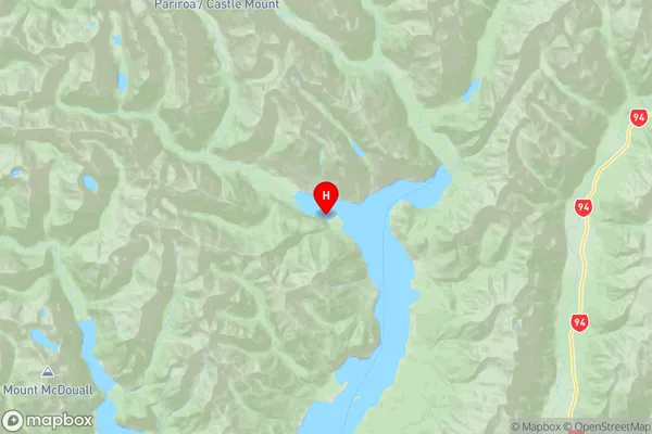
SouthlandHals Bay Region Map
Coordinates
-44.952417,167.853306 (latitude/longitude)Distances
The distance from Hals Bay, , Southland District to NZ Top 10 Cities