Paka Bay Area, Paka Bay Postcode(3330) & Map in Paka Bay
Paka Bay Area, Paka Bay Postcode(3330) & Map in Paka Bay, Taupo District, New Zealand
Paka Bay, Taupo District, New Zealand
Paka Bay Postcodes
Paka Bay Area (estimated)
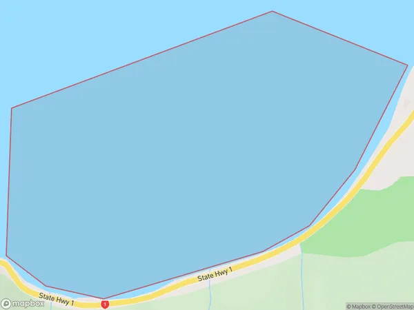
0.7 square kilometersPaka Bay Population (estimated)
0 people live in Paka Bay, Waikato, NZPaka Bay Suburb Area Map (Polygon)
Paka Bay Introduction
Paka Bay is a small, shallow bay located in the Waikato region of New Zealand. It is known for its clear waters and stunning coastal scenery, making it a popular spot for swimming, kayaking, and fishing. The bay is also home to a small community of residents and a popular beach resort.Region
Suburb Name
Paka Bay (Maori Name: Pākā Bay)Other Name(s)
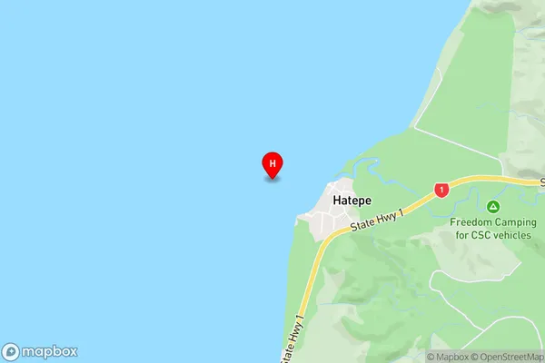
Lake Taupo (Taupomoana), Halletts Bay, HamuriaPaka Bay Area Map (Street)
Local Authority
Taupo DistrictFull Address
Paka Bay, Taupo District, New ZealandAddress Type
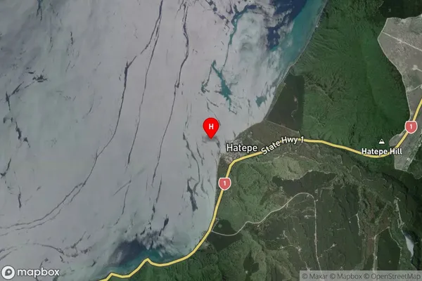
Inland BayPaka Bay Suburb Map (Satellite)
Country
Main Region in AU
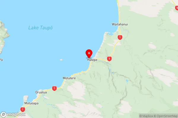
WaikatoPaka Bay Region Map
Coordinates
-38.8528037,176.0068149 (latitude/longitude)Distances
The distance from Paka Bay, , Taupo District to NZ Top 10 Cities