Hallam Cove Area, Hallam Cove Postcode & Map in Hallam Cove
Hallam Cove Area, Hallam Cove Postcode & Map in Hallam Cove, Marlborough District, New Zealand
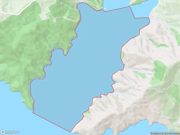
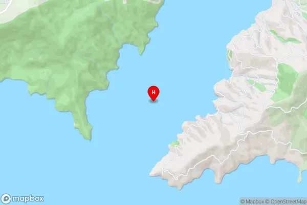
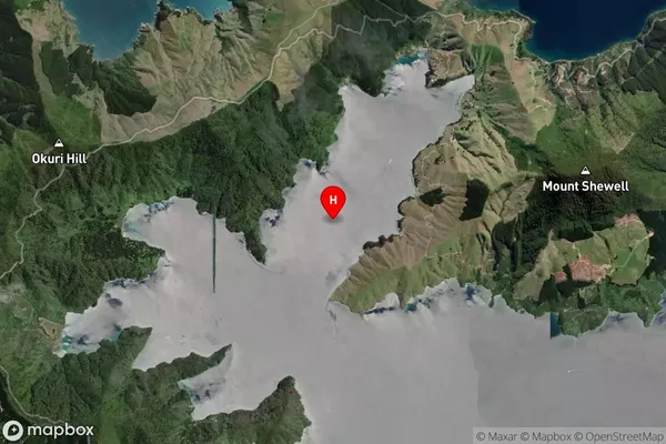
Hallam Cove, Marlborough District, New Zealand
Hallam Cove Area (estimated)
4.2 square kilometersHallam Cove Population (estimated)
0 people live in Hallam Cove, Marlborough, NZHallam Cove Suburb Area Map (Polygon)
Hallam Cove Introduction
Hallam Cove is a small, sheltered bay located in the Marlborough region of New Zealand's South Island. It is known for its crystal-clear waters, stunning coastal scenery, and diverse marine life, including seals, dolphins, and penguins. The bay is a popular spot for swimming, kayaking, and fishing, and it is also home to a small community of residents.Region
Suburb Name
Hallam CoveOther Name(s)
Tawhitinui ReachHallam Cove Area Map (Street)
Local Authority
Marlborough DistrictFull Address
Hallam Cove, Marlborough District, New ZealandAddress Type
Coastal BayHallam Cove Suburb Map (Satellite)
Country
Main Region in AU
MarlboroughHallam Cove Region Map

Coordinates
-41.0088169,173.8140601 (latitude/longitude)Distances
The distance from Hallam Cove, , Marlborough District to NZ Top 10 Cities