Kia Ora Area, Kia Ora Postcode & Map in Kia Ora
Kia Ora Area, Kia Ora Postcode & Map in Kia Ora, Waitaki District, New Zealand
Kia Ora, Waitaki District, New Zealand
Kia Ora Area (estimated)
25.9 square kilometersKia Ora Population (estimated)
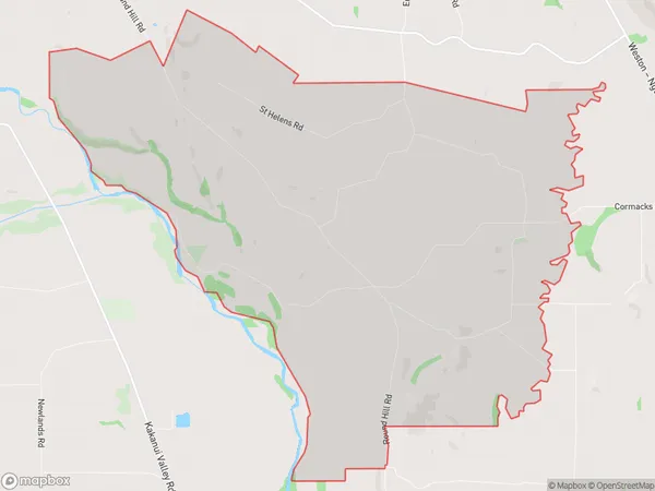
66 people live in Kia Ora, Otago, NZKia Ora Suburb Area Map (Polygon)
Kia Ora Introduction
Kia Ora, Oamaru, Otago, NZ, is a small town with a rich history and a strong community spirit. It is known for its stunning natural scenery, including the Blue Mountains and the Otago Harbour, and for its many cultural attractions, such as the Oamaru Blue Penguin Colony and the Otago Museum. The town also hosts a variety of events and festivals throughout the year, including the Oamaru Victorian Heritage Festival and the Oamaru Classic Car Festival.Region
Major City
Suburb Name
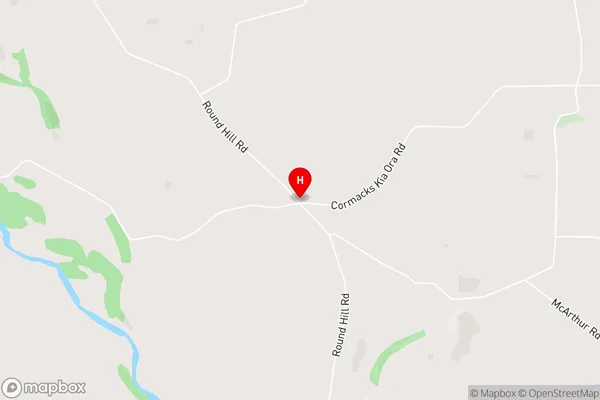
Kia OraKia Ora Area Map (Street)
Local Authority
Waitaki DistrictFull Address
Kia Ora, Waitaki District, New ZealandAddress Type
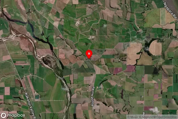
Locality in Town OamaruKia Ora Suburb Map (Satellite)
Country
Main Region in AU
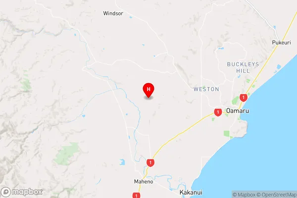
OtagoKia Ora Region Map
Coordinates
-45.0883385,170.844934 (latitude/longitude)Distances
The distance from Kia Ora, Oamaru, Waitaki District to NZ Top 10 Cities