Hakana Bay Area, Hakana Bay Postcode & Map in Hakana Bay
Hakana Bay Area, Hakana Bay Postcode & Map in Hakana Bay, Marlborough District, New Zealand
Hakana Bay, Marlborough District, New Zealand
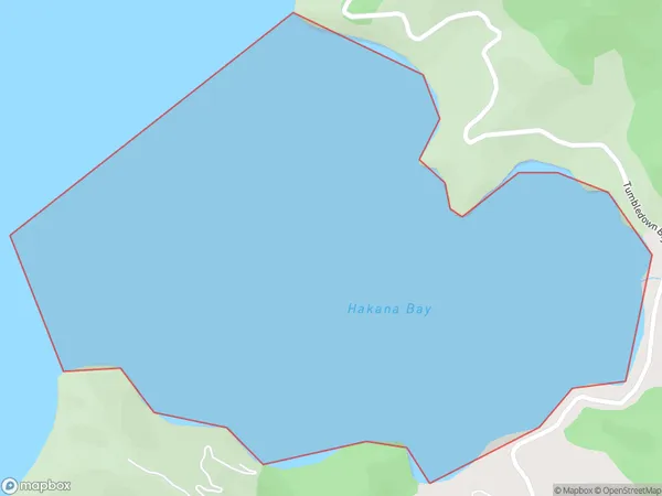
Hakana Bay Area (estimated)
0.9 square kilometersHakana Bay Population (estimated)
0 people live in Hakana Bay, Marlborough, NZHakana Bay Suburb Area Map (Polygon)
Hakana Bay Introduction
Hakana Bay is a picturesque beach located in Marlborough, New Zealand. It is known for its crystal-clear waters, stunning sunsets, and beautiful coastal scenery. The bay is a popular spot for swimming, kayaking, and fishing, and it is also home to a variety of wildlife, including seals, dolphins, and penguins. Visitors can also enjoy hiking and mountain biking trails in the surrounding area.Region
Suburb Name
Hakana BayOther Name(s)
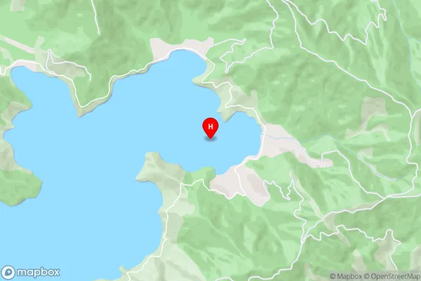
Port Underwood, Cook StraitHakana Bay Area Map (Street)
Local Authority
Marlborough DistrictFull Address
Hakana Bay, Marlborough District, New ZealandAddress Type
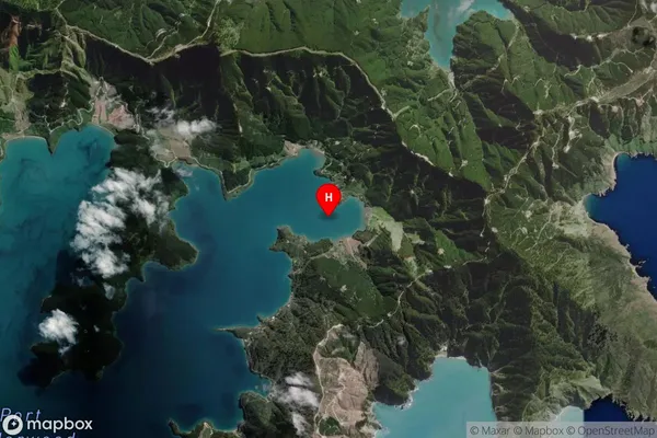
Coastal BayHakana Bay Suburb Map (Satellite)
Country
Main Region in AU
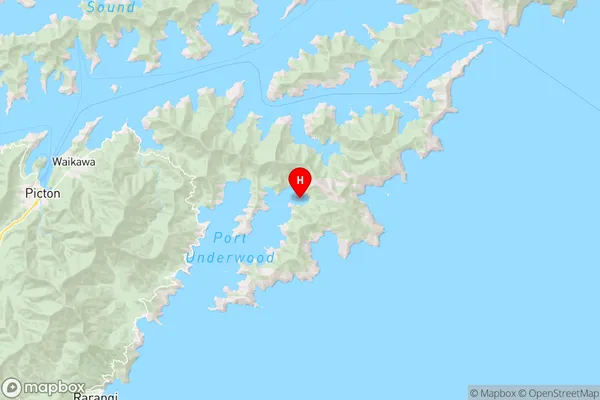
MarlboroughHakana Bay Region Map
Coordinates
-41.2943985,174.1836161 (latitude/longitude)Distances
The distance from Hakana Bay, , Marlborough District to NZ Top 10 Cities