Grebe Bay Area, Grebe Bay Postcode(7883) & Map in Grebe Bay
Grebe Bay Area, Grebe Bay Postcode(7883) & Map in Grebe Bay, Westland District, New Zealand
Grebe Bay, Westland District, New Zealand
Grebe Bay Postcodes
Grebe Bay Area (estimated)
0.1 square kilometersGrebe Bay Population (estimated)
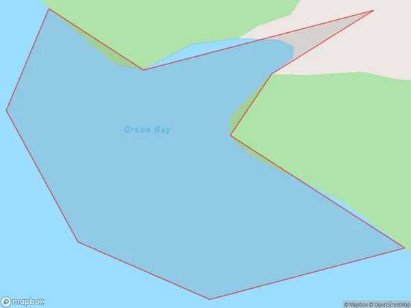
0 people live in Grebe Bay, West Coast, NZGrebe Bay Suburb Area Map (Polygon)
Grebe Bay Introduction
Grebe Bay is a small, sheltered bay located on the west coast of New Zealand's South Island. It is known for its stunning natural beauty, including rugged cliffs, crystal-clear waters, and a variety of wildlife. The bay is a popular spot for kayaking, fishing, and hiking, and is home to a small community of residents.Region
Suburb Name
Grebe BayOther Name(s)
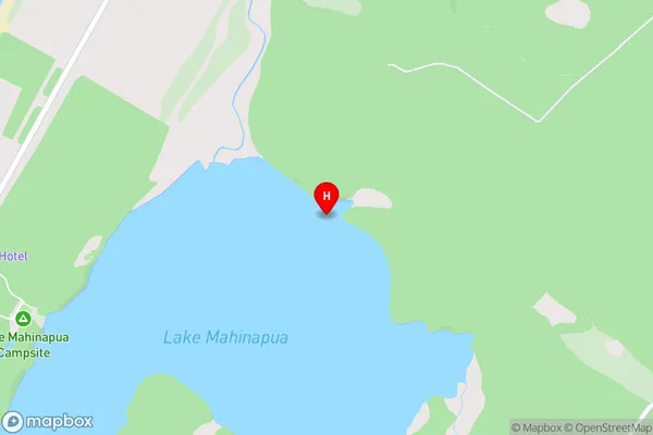
Lake MahinapuaGrebe Bay Area Map (Street)
Local Authority
Westland DistrictFull Address
Grebe Bay, Westland District, New ZealandAddress Type
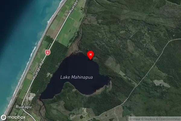
Inland BayGrebe Bay Suburb Map (Satellite)
Country
Main Region in AU
West CoastGrebe Bay Region Map

Coordinates
-42.7892119,170.9249099 (latitude/longitude)Distances
The distance from Grebe Bay, , Westland District to NZ Top 10 Cities