Grannys Bay Area, Grannys Bay Postcode(1042) & Map in Grannys Bay
Grannys Bay Area, Grannys Bay Postcode(1042) & Map in Grannys Bay, Auckland, New Zealand
Grannys Bay, Auckland, New Zealand
Grannys Bay Postcodes
Grannys Bay Area (estimated)
0.3 square kilometersGrannys Bay Population (estimated)
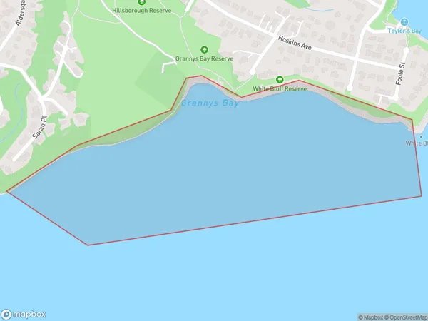
0 people live in Grannys Bay, Puketāpapa, NZGrannys Bay Suburb Area Map (Polygon)
Grannys Bay Introduction
Grannys Bay is a small, peaceful beach located in the Eastern Bay of Auckland, New Zealand. It is known for its clear waters, stunning coastal views, and peaceful atmosphere, making it a popular spot for swimming, sunbathing, and picnicking. The beach is surrounded by native vegetation and has a small parking area and toilet facilities. It is also a popular spot for fishing and kayaking, with several boat ramps and rental facilities nearby.Region
Major City
Suburb Name
Grannys BayOther Name(s)
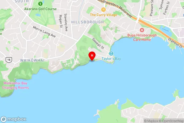
Manukau HarbourGrannys Bay Area Map (Street)
Local Authority
AucklandFull Address
Grannys Bay, Auckland, New ZealandAddress Type
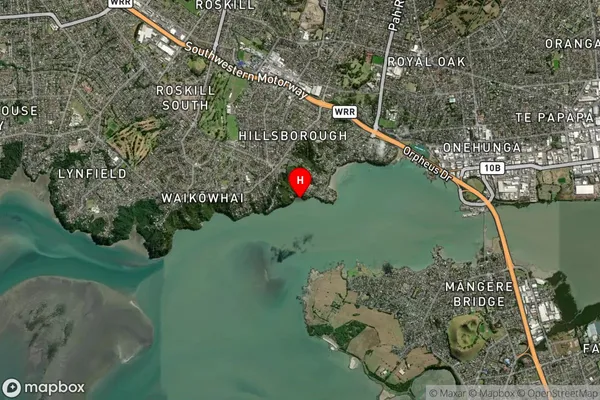
Coastal BayGrannys Bay Suburb Map (Satellite)
Country
Main Region in AU
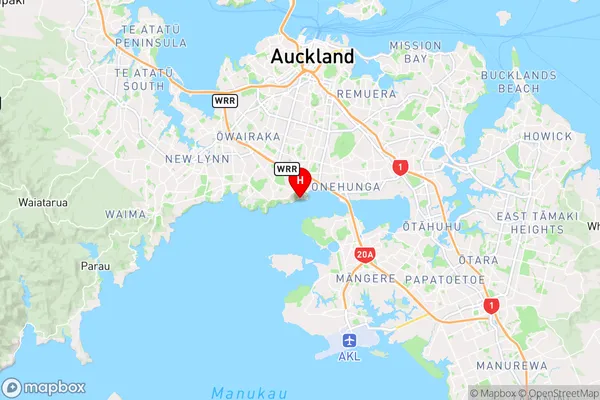
AucklandGrannys Bay Region Map
Coordinates
-36.9309656,174.7545747 (latitude/longitude)Distances
The distance from Grannys Bay, , Auckland to NZ Top 10 Cities