Otokitoki / Gollans Bay Area, Otokitoki / Gollans Bay Postcode(8082) & Map in Otokitoki / Gollans Bay
Otokitoki / Gollans Bay Area, Otokitoki / Gollans Bay Postcode(8082) & Map in Otokitoki / Gollans Bay, Christchurch City, New Zealand
Otokitoki / Gollans Bay, Christchurch City, New Zealand
Otokitoki / Gollans Bay Postcodes
Otokitoki / Gollans Bay Area (estimated)
0.2 square kilometersOtokitoki / Gollans Bay Population (estimated)
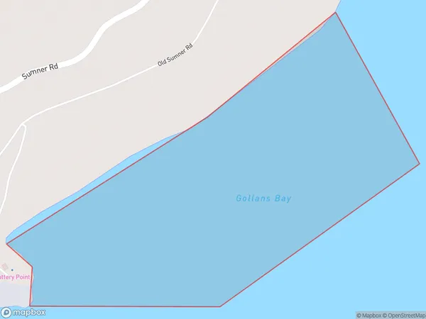
0 people live in Otokitoki / Gollans Bay, Banks Peninsula Community, NZOtokitoki / Gollans Bay Suburb Area Map (Polygon)
Otokitoki / Gollans Bay Introduction
Otokitoki / Gollans Bay is a small beach located in the Canterbury region of New Zealand. It is known for its peaceful atmosphere, stunning natural surroundings, and crystal-clear waters. The beach is a popular spot for swimming, sunbathing, and fishing, and it is surrounded by native vegetation and breathtaking views of the Southern Alps.Region
Major City
Suburb Name
Otokitoki / Gollans Bay (Maori Name: Ōtokitoki / Gollans Bay)Other Name(s)
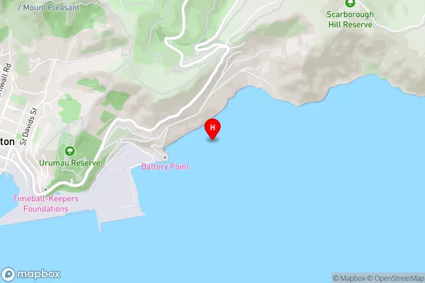
Lyttelton Harbour/Whakaraupo, Gollans Bay, Otokitoki (Maori Name: Lyttelton Harbour/Whakaraupō, Gollans Bay, Otokitoki)Otokitoki / Gollans Bay Area Map (Street)
Local Authority
Christchurch CityFull Address
Otokitoki / Gollans Bay, Christchurch City, New ZealandAddress Type
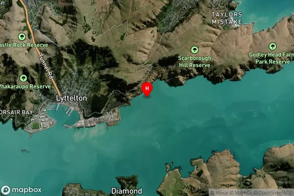
Coastal BayOtokitoki / Gollans Bay Suburb Map (Satellite)
Country
Main Region in AU
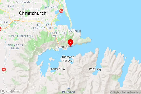
CanterburyOtokitoki / Gollans Bay Region Map
Coordinates
-43.6024792,172.7470598 (latitude/longitude)Distances
The distance from Otokitoki / Gollans Bay, , Christchurch City to NZ Top 10 Cities