Kew Area, Kew Postcode(9012) & Map in Kew
Kew Area, Kew Postcode(9012) & Map in Kew, Dunedin City, New Zealand
Kew, Dunedin City, New Zealand
Kew Postcodes
Kew Area (estimated)
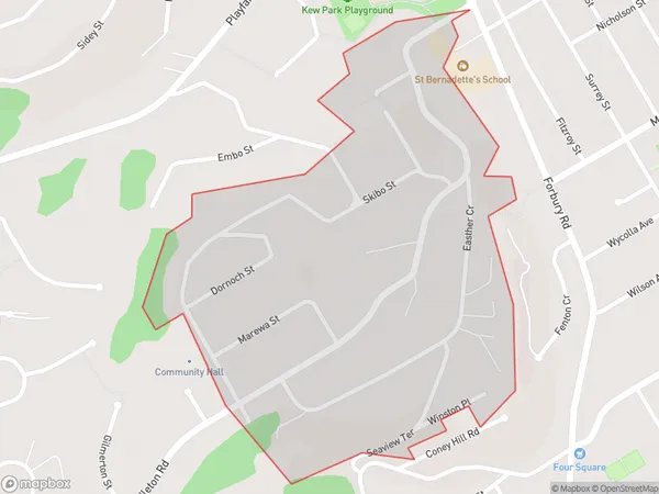
0.4 square kilometersKew Population (estimated)
998 people live in Kew, Dunedin, NZKew Suburb Area Map (Polygon)
Kew Introduction
Kew is a suburb of Dunedin, New Zealand, located 4 km south of the city center. It is known for its beautiful gardens, including the Kew Gardens, which is a UNESCO World Heritage Site. Kew also has a variety of residential areas, including apartments, houses, and villas. The suburb has a strong community spirit and is home to many families and young professionals.Region
Major City
Suburb Name
KewKew Area Map (Street)

Local Authority
Dunedin CityFull Address
Kew, Dunedin City, New ZealandAddress Type
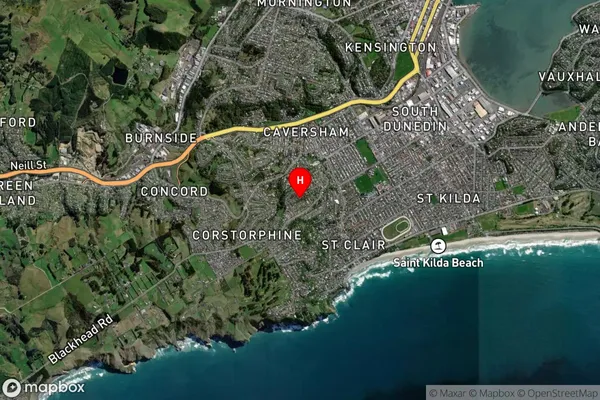
Suburb in City DunedinKew Suburb Map (Satellite)
Country
Main Region in AU
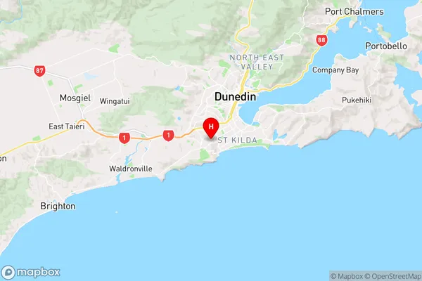
OtagoKew Region Map
Coordinates
-45.9040047,170.4800034 (latitude/longitude)Distances
The distance from Kew, Dunedin, Dunedin City to NZ Top 10 Cities