George Bay Area, George Bay Postcode(9643) & Map in George Bay
George Bay Area, George Bay Postcode(9643) & Map in George Bay, Southland District, New Zealand
George Bay, Southland District, New Zealand
George Bay Postcodes
George Bay Area (estimated)
0.9 square kilometersGeorge Bay Population (estimated)
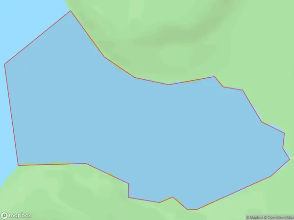
0 people live in George Bay, Fiordland Community, NZGeorge Bay Suburb Area Map (Polygon)
George Bay Introduction
George Bay is a small settlement in Southland, New Zealand. It is located on the southern coast of the Southland District, near the mouth of the George River. The bay is a popular spot for fishing and boating, and it is surrounded by stunning coastal scenery. The area has a rich history, with early European settlers arriving in the area in the 1860s.Region
Major City
Suburb Name
George BayOther Name(s)
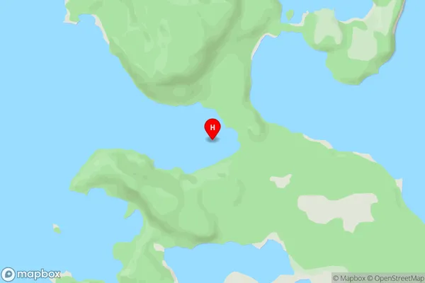
Hope Arm, Lake ManapouriGeorge Bay Area Map (Street)
Local Authority
Southland DistrictFull Address
George Bay, Southland District, New ZealandAddress Type
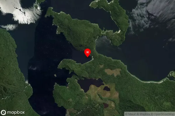
Inland BayGeorge Bay Suburb Map (Satellite)
Country
Main Region in AU
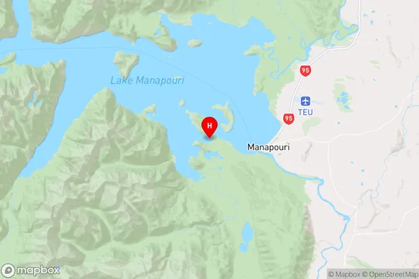
SouthlandGeorge Bay Region Map
Coordinates
-45.5599504,167.5553529 (latitude/longitude)Distances
The distance from George Bay, , Southland District to NZ Top 10 Cities