Garnet Bay Area, Garnet Bay Postcode(9600) & Map in Garnet Bay
Garnet Bay Area, Garnet Bay Postcode(9600) & Map in Garnet Bay, Southland District, New Zealand
Garnet Bay, Southland District, New Zealand
Garnet Bay Postcodes
Garnet Bay Area (estimated)
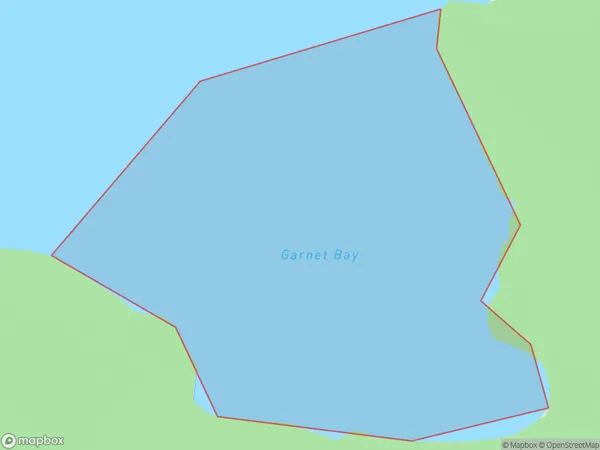
0.2 square kilometersGarnet Bay Population (estimated)
0 people live in Garnet Bay, Fiordland Community, NZGarnet Bay Suburb Area Map (Polygon)
Garnet Bay Introduction
Garnet Bay is a popular beach in Southland, New Zealand, known for its stunning red garnet sand and clear turquoise waters. It is a popular spot for swimming, surfing, and fishing and is surrounded by picturesque mountains and forests. The bay is also home to a small community of people who live in the surrounding area.Region
Major City
Suburb Name
Garnet BayOther Name(s)
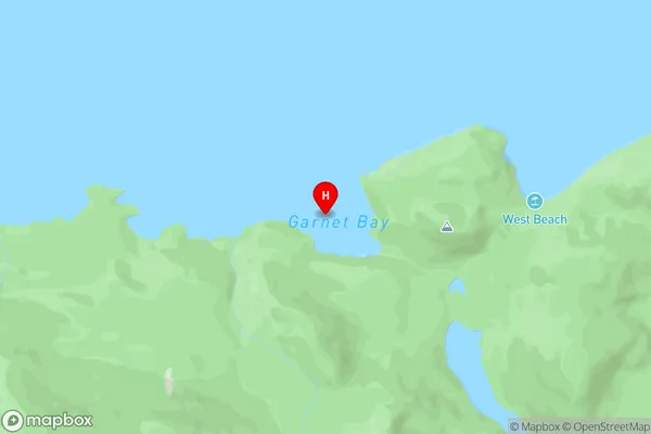
South Fiord, Lake Te AnauGarnet Bay Area Map (Street)
Local Authority
Southland DistrictFull Address
Garnet Bay, Southland District, New ZealandAddress Type
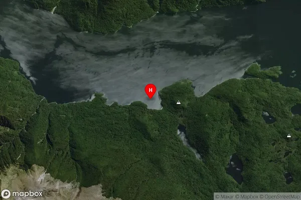
Inland BayGarnet Bay Suburb Map (Satellite)
Country
Main Region in AU
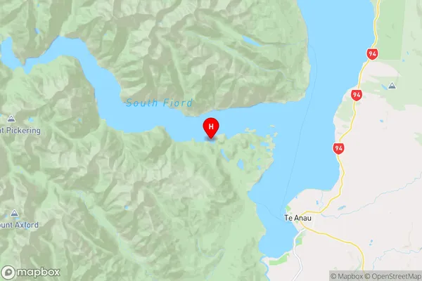
SouthlandGarnet Bay Region Map
Coordinates
-45.3613524,167.632743280766 (latitude/longitude)Distances
The distance from Garnet Bay, , Southland District to NZ Top 10 Cities